Newlands Area, Newlands Postcode(6442) & Map in Newlands
Newlands Area, Newlands Postcode(6442) & Map in Newlands, Wellington City, New Zealand
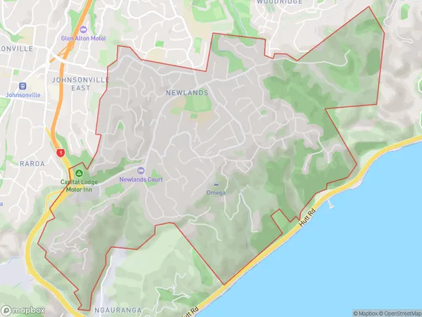
Newlands, Wellington City, New Zealand
Newlands Area (estimated)
5.3 square kilometersNewlands Population (estimated)
8265 people live in Newlands, Wellington, NZNewlands Suburb Area Map (Polygon)
Newlands Introduction
Newlands is a suburb in Wellington, New Zealand, located to the southeast of the city center. It is known for its lush green parks, well-maintained homes, and convenient location, with easy access to public transportation and various amenities. The suburb has a diverse population and is home to many families, young professionals, and students.Region
Major City
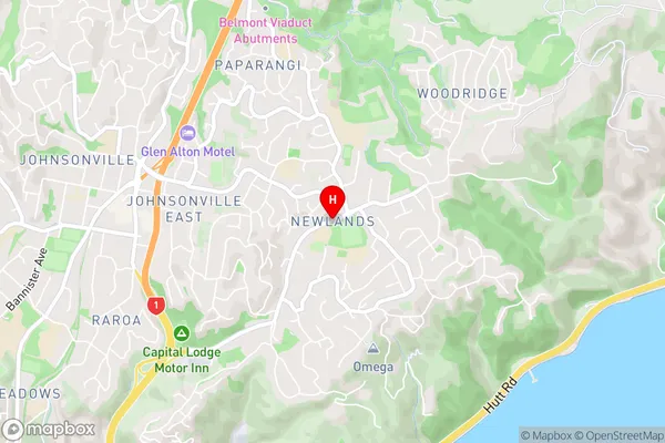
Suburb Name
NewlandsNewlands Area Map (Street)
Local Authority
Wellington CityFull Address
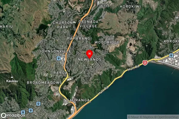
Newlands, Wellington City, New ZealandAddress Type
Suburb in City WellingtonNewlands Suburb Map (Satellite)
Country
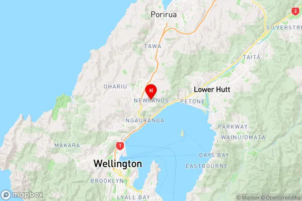
Main Region in AU
WellingtonNewlands Region Map
Coordinates
-41.2239204,174.822567 (latitude/longitude)Distances
The distance from Newlands, Wellington, Wellington City to NZ Top 10 Cities