Paparangi Area, Paparangi Postcode(6442) & Map in Paparangi, South Taranaki District
Paparangi Area, Paparangi Postcode(6442) & Map in Paparangi, South Taranaki District, Whanganui District, New Zealand
Paparangi, South Taranaki District, Whanganui District, New Zealand
Paparangi Area (estimated)
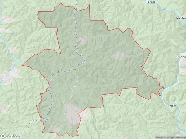
268.1 square kilometersPaparangi Population (estimated)
49 people live in Paparangi, Wellington, NZPaparangi Suburb Area Map (Polygon)
Paparangi Introduction
Paparangi is a suburb of Wellington, New Zealand, located in the northern part of the city. It is known for its vibrant community, beautiful parks, and easy access to the city center. The suburb has a population of around 2,000 people and is home to a variety of ethnicities and cultures. It is also home to several popular restaurants and cafes, as well as a community center and library.Region
Major City
Suburb Name
PaparangiOther Name(s)
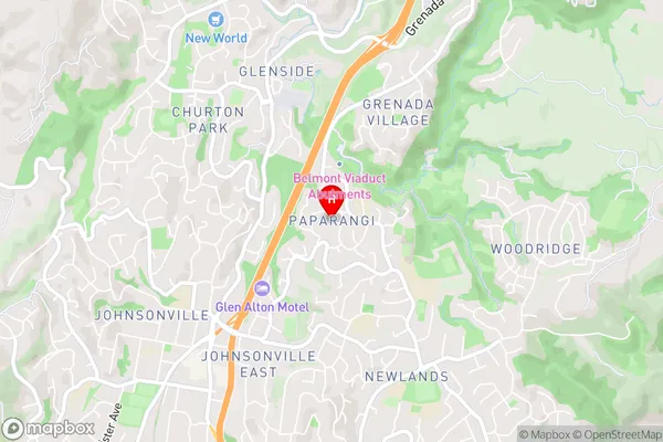
Te Tuhi JunctionPaparangi Area Map (Street)
Local Authority
South Taranaki District, Whanganui DistrictFull Address
Paparangi, South Taranaki District, Whanganui District, New ZealandAddress Type
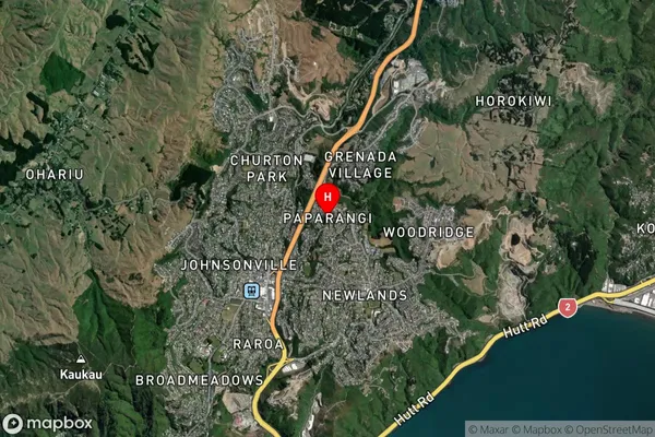
Locality in Town WhanganuiPaparangi Suburb Map (Satellite)
Country
Main Region in AU
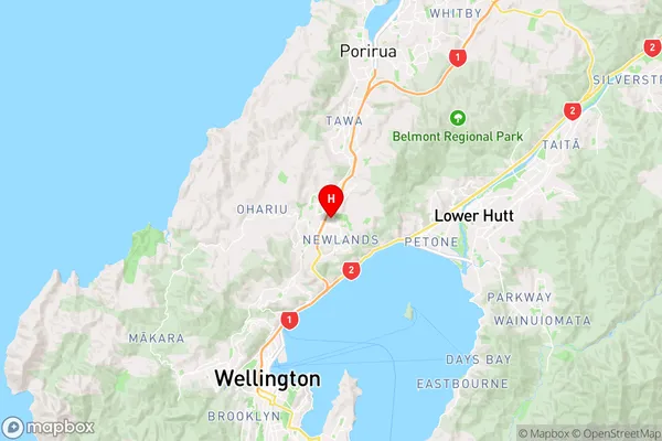
WellingtonPaparangi Region Map
Coordinates
-41.2148246,174.8167502 (latitude/longitude)Distances
The distance from Paparangi, Whanganui, South Taranaki District, Whanganui District to NZ Top 10 Cities