Paparangi Area, Paparangi Postcode(6442) & Map in Paparangi
Paparangi Area, Paparangi Postcode(6442) & Map in Paparangi, Wellington City, New Zealand
Paparangi, Wellington City, New Zealand
Paparangi Area (estimated)
1.4 square kilometersPaparangi Population (estimated)
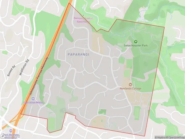
2766 people live in Paparangi, Wellington, NZPaparangi Suburb Area Map (Polygon)
Paparangi Introduction
Paparangi is a suburb in Wellington, New Zealand, located on the southern shore of Wellington Harbour. It is known for its vibrant community, beautiful beaches, and stunning views of the harbor. The area is home to a variety of housing options, including apartments, townhouses, and single-family homes. Paparangi is also home to a number of popular restaurants, cafes, and shops, making it a convenient and popular place to live.Region
Major City
Suburb Name
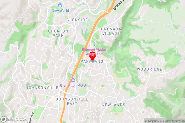
PaparangiPaparangi Area Map (Street)
Local Authority
Wellington CityFull Address
Paparangi, Wellington City, New ZealandAddress Type
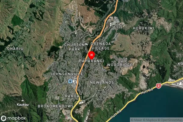
Suburb in City WellingtonPaparangi Suburb Map (Satellite)
Country
Main Region in AU
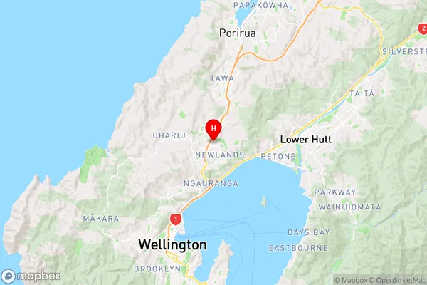
WellingtonPaparangi Region Map
Coordinates
-41.2148246,174.8167502 (latitude/longitude)Distances
The distance from Paparangi, Wellington, Wellington City to NZ Top 10 Cities