Wairoa Suburbs & Region, Wairoa Map & Postcodes in Wairoa, Wairoa, Hawkes Bay
Wairoa Postcodes, Wairoa ZipCodes, Wairoa , Wairoa Hawke's Bay, Wairoa Suburbs, Wairoa Region, Wairoa Map, Wairoa Area
Wairoa Region (North Clyde, Ohinepaka, Tuhara, Waihua Region)
Wairoa Suburbs
Wairoa is a suburb place type in Wairoa, Hawkes Bay, NZ. It contains 5 suburbs or localities.Wairoa Introduction
Wairoa is a small town in Hawke's Bay, New Zealand, with a population of around 4,500 people. It is known for its historic buildings, including the Wairoa District Museum and the Wairoa Anglican Church. The town is located on the banks of the Wairoa River and is surrounded by farmland and native bush. Wairoa is a popular destination for tourists, with many activities to enjoy, including fishing, hiking, and cycling. The town also hosts the Wairoa Agricultural Show every year, which attracts visitors from all over New Zealand.Wairoa Region
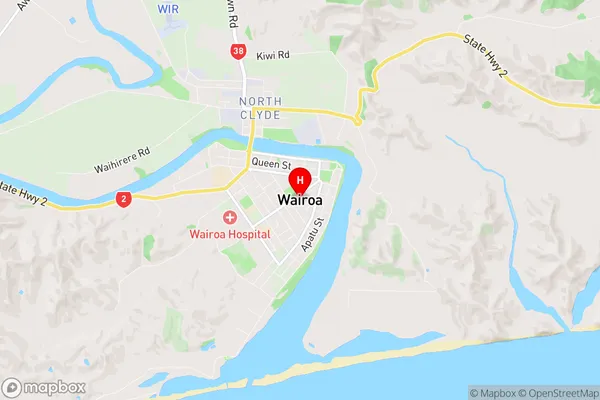
Wairoa City
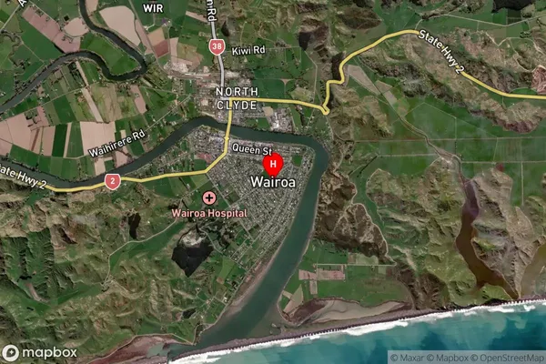
Wairoa Satellite Map

Full Address
Wairoa, Wairoa, Hawkes BayWairoa Coordinates
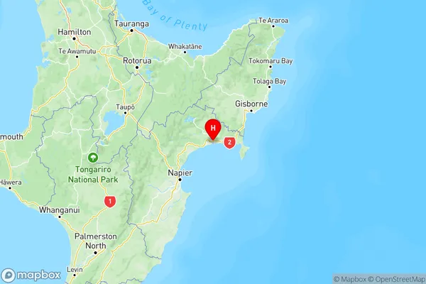
-39.03939,177.427139 (Latitude / Longitude)Wairoa Map in NZ

NZ Island
North IslandCountry
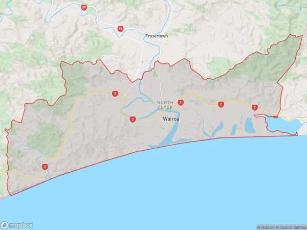
Wairoa Area Map (Polygon)

Name
WairoaAdditional Name
North Clyde, Ohinepaka, Tuhara, WaihuaLocal Authority
Wairoa District
Wairoa Suburbs (Sort by Population)
Wairoa
Wairoa - 5831Frasertown
Frasertown - 622Tuai
Tuai - 366Mohaka
Mohaka - 138Ohuka
Ohuka - 38
