Wairoa Area, Wairoa Postcode(4108) & Map in Wairoa
Wairoa Area, Wairoa Postcode(4108) & Map in Wairoa, Wairoa District, New Zealand
Wairoa, Wairoa District, New Zealand
Wairoa Area (estimated)
265.7 square kilometersWairoa Population (estimated)
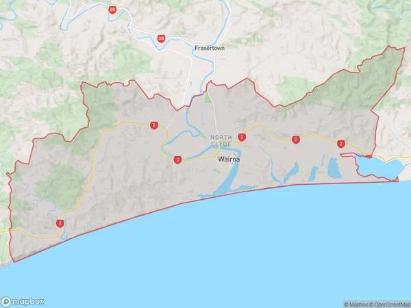
5831 people live in Wairoa, Hawke's Bay, NZWairoa Suburb Area Map (Polygon)
Wairoa Introduction
Wairoa is a small town in Hawke's Bay, New Zealand, known for its rich history and stunning natural surroundings. It is located on the banks of the Wairoa River and is surrounded by picturesque farmland and native forests. The town has a population of around 4,000 people and is home to several historic buildings, including the Wairoa County Library and the Wairoa Museum. It is also a popular destination for outdoor activities such as hiking, cycling, and fishing, with nearby attractions including the Cape Kidnappers and the Mahia Peninsula.Region
Major City
Suburb Name
WairoaOther Name(s)
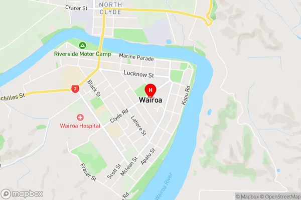
North Clyde, Ohinepaka, Tuhara, WaihuaWairoa Area Map (Street)
Local Authority
Wairoa DistrictFull Address
Wairoa, Wairoa District, New ZealandAddress Type
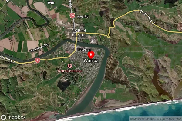
Suburb in Town WairoaWairoa Suburb Map (Satellite)
Country
Main Region in AU
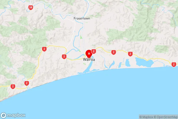
Hawke's BayWairoa Region Map
Coordinates
-39.03939,177.4271389 (latitude/longitude)Distances
The distance from Wairoa, Wairoa, Wairoa District to NZ Top 10 Cities