Tuai Area, Tuai Postcode(4164) & Map in Tuai
Tuai Area, Tuai Postcode(4164) & Map in Tuai, Wairoa District, New Zealand
Tuai, Wairoa District, New Zealand
Tuai Area (estimated)
426.2 square kilometersTuai Population (estimated)
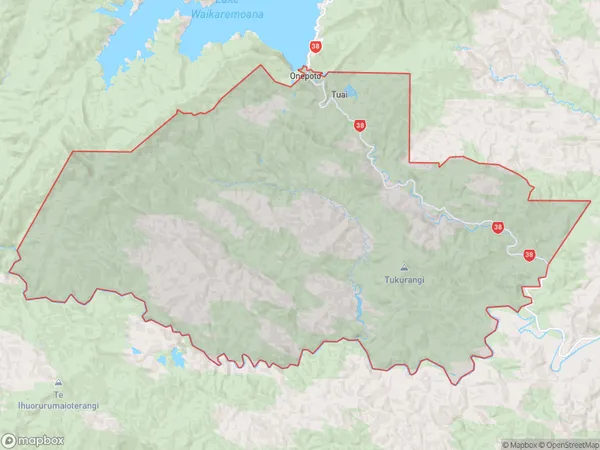
366 people live in Tuai, Hawke's Bay, NZTuai Suburb Area Map (Polygon)
Tuai Introduction
Tuai is a small rural community in the Wairoa District of Hawke's Bay, New Zealand. It is located on State Highway 2, approximately 12 km south of Wairoa and 15 km north of Hastings. The community has a population of around 50 people and is known for its scenic rural setting and historic church. The area was first settled by Māori in the 18th century and the church was built in 1875. Tuai also has a small primary school and a community hall.Region
Major City
Suburb Name
TuaiOther Name(s)
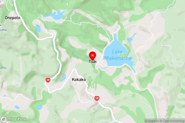
Kaitawa, Kokako, Onepoto, PiripauaTuai Area Map (Street)
Local Authority
Wairoa DistrictFull Address
Tuai, Wairoa District, New ZealandAddress Type
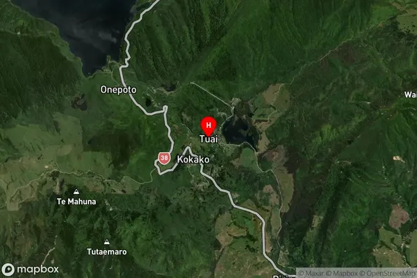
Locality in Town WairoaTuai Suburb Map (Satellite)
Country
Main Region in AU
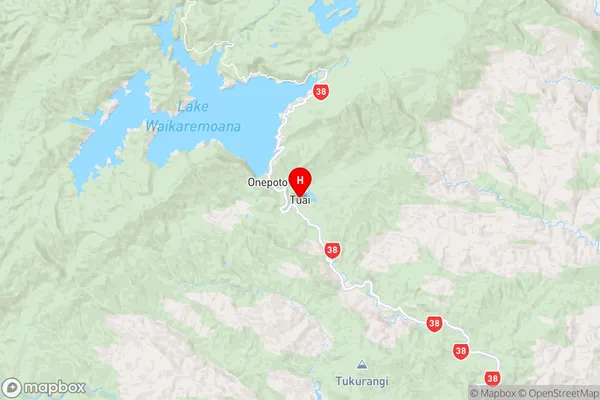
Hawke's BayTuai Region Map
Coordinates
-38.8127048,177.144806 (latitude/longitude)Distances
The distance from Tuai, Wairoa, Wairoa District to NZ Top 10 Cities