Ohuka Area, Ohuka Postcode(4195) & Map in Ohuka
Ohuka Area, Ohuka Postcode(4195) & Map in Ohuka, Wairoa District, New Zealand
Ohuka, Wairoa District, New Zealand
Ohuka Postcodes
Ohuka Area (estimated)
163.9 square kilometersOhuka Population (estimated)
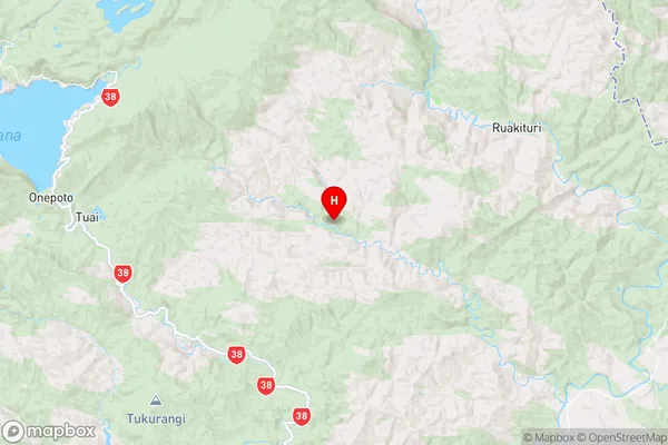
38 people live in Ohuka, Hawke's Bay, NZOhuka Suburb Area Map (Polygon)

Ohuka Introduction
Ohuka is a small rural town in the Wairoa District of Hawke's Bay, New Zealand. It is located on State Highway 2, approximately 20 km south of Wairoa and 120 km north of Hastings. The town is known for its scenic surroundings, including the Ohuka Range and the Ohuka River. The population of Ohuka was 1,200 at the 2018 census.Region
Major City
Suburb Name
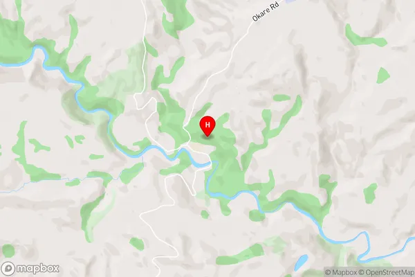
OhukaOhuka Area Map (Street)
Local Authority
Wairoa DistrictFull Address
Ohuka, Wairoa District, New ZealandAddress Type
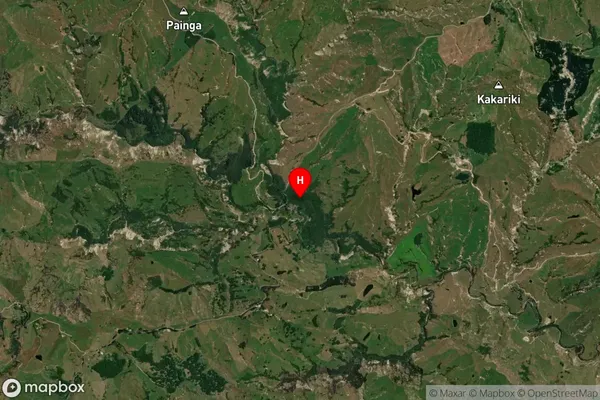
Locality in Town WairoaOhuka Suburb Map (Satellite)
Country
Main Region in AU
Hawke's BayOhuka Region Map
Coordinates
-38.8152278,177.2971033 (latitude/longitude)Distances
The distance from Ohuka, Wairoa, Wairoa District to NZ Top 10 Cities