Porangahau Suburbs & Region, Porangahau Map & Postcodes in Porangahau, Central Hawkes Bay, Hawkes Bay
Porangahau Postcodes, Porangahau ZipCodes, Porangahau , Porangahau Hawke's Bay, Porangahau Suburbs, Porangahau Region, Porangahau Map, Porangahau Area
Porangahau Region (Wilder Settlement Region)
Porangahau Suburbs
Porangahau is a city place type in Central Hawkes Bay, Hawkes Bay, NZ. It contains 3 suburbs or localities.Porangahau district
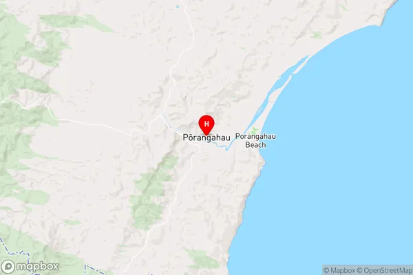
Central Hawkes BayPorangahau Region Map
Porangahau Introduction
Porangahau is a small rural town located in the Hawke's Bay region of New Zealand. It is known for its stunning natural scenery, including rolling hills, picturesque farms, and the Porangahau River. The town has a population of around 2,000 people and is a popular destination for tourists who enjoy hiking, cycling, and fishing. The town also has a historic church, a primary school, and a small supermarket. Porangahau is located about 30 minutes from Hastings and 2 hours from Wellington, the capital city of New Zealand.Porangahau Region
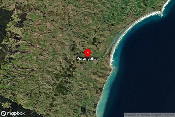
Porangahau Satellite Map
Full Address
Porangahau, Central Hawkes Bay, Hawkes BayPorangahau Coordinates
-40.303054,176.613882 (Latitude / Longitude)Porangahau Map in NZ
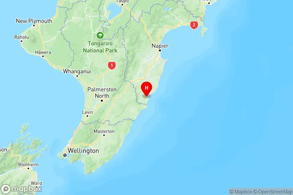
NZ Island
North IslandCountry
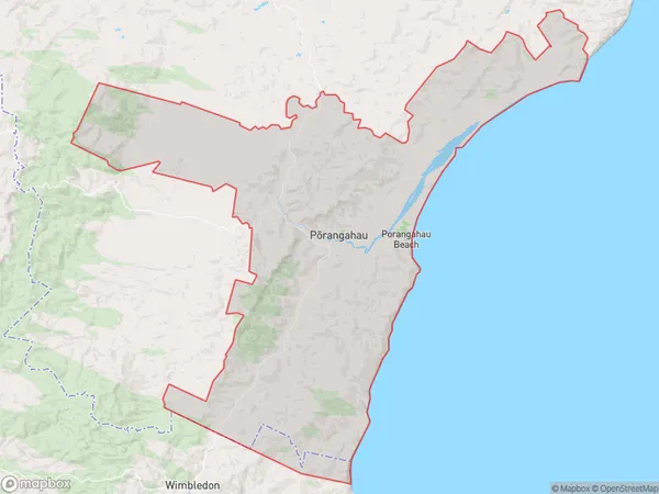
Porangahau Area Map (Polygon)
Name
PorangahauAdditional Name
Wilder SettlementLocal Authority
Central Hawke's Bay District
Porangahau Suburbs (Sort by Population)
Porangahau
Porangahau - 518Mangaorapa
Mangaorapa - 106Blackhead
Blackhead - 57