Porangahau Area, Porangahau Postcode(4245) & Map in Porangahau
Porangahau Area, Porangahau Postcode(4245) & Map in Porangahau, Central Hawke's Bay District, New Zealand
Porangahau, Central Hawke's Bay District, New Zealand
Porangahau Area (estimated)
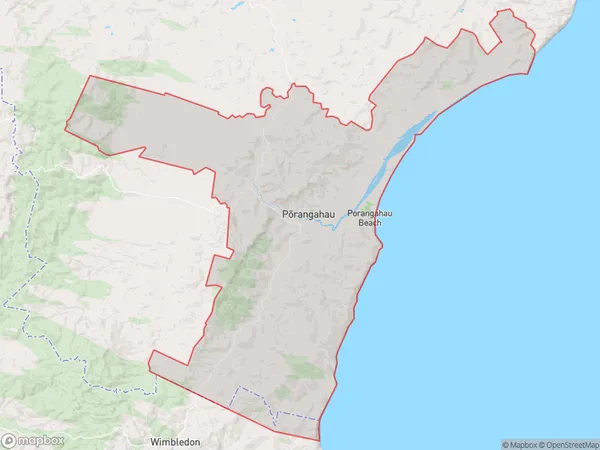
374.5 square kilometersPorangahau Population (estimated)
518 people live in Porangahau, Hawke's Bay, NZPorangahau Suburb Area Map (Polygon)
Porangahau Introduction
Porangahau is a small rural town located in the Hawke's Bay region of New Zealand. It is known for its historic buildings, including the Porangahau Hotel, which was built in 1877. The town also has a beautiful beach and a popular golf course. Porangahau is surrounded by farmland and has a population of around 200 people.Region
Major City
Suburb Name
Porangahau (Maori Name: Pōrangahau)Other Name(s)
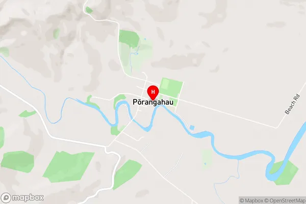
Wilder SettlementPorangahau Area Map (Street)
Local Authority
Central Hawke's Bay DistrictFull Address
Porangahau, Central Hawke's Bay District, New ZealandAddress Type
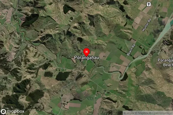
Locality in Major Locality PorangahauPorangahau Suburb Map (Satellite)
Country
Main Region in AU
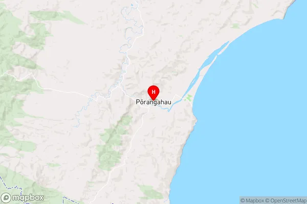
Hawke's BayPorangahau Region Map
Coordinates
-40.3030539,176.6138825 (latitude/longitude)Distances
The distance from Porangahau, Porangahau, Central Hawke's Bay District to NZ Top 10 Cities