Mangaorapa Area, Mangaorapa Postcode & Map in Mangaorapa
Mangaorapa Area, Mangaorapa Postcode & Map in Mangaorapa, Central Hawke's Bay District, New Zealand
Mangaorapa, Central Hawke's Bay District, New Zealand
Mangaorapa Area (estimated)
179.5 square kilometersMangaorapa Population (estimated)
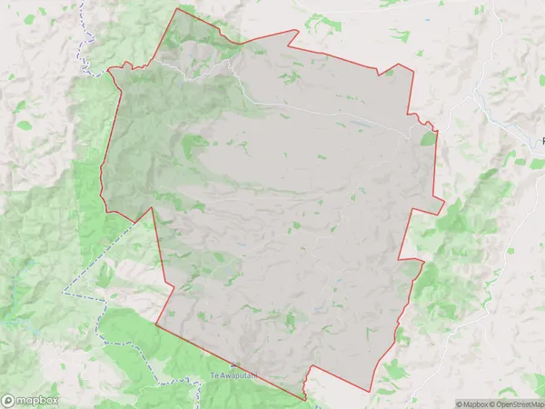
106 people live in Mangaorapa, Hawke's Bay, NZMangaorapa Suburb Area Map (Polygon)
Mangaorapa Introduction
Mangaorapa is a small rural community located in the Porangahau region of Hawke's Bay, New Zealand. It is known for its stunning natural surroundings, including rolling hills, picturesque farmland, and the Mangaorapa River. The community has a strong sense of community and is home to a variety of local businesses and services, including a primary school, a post office, and a convenience store. Mangaorapa is also a popular destination for outdoor enthusiasts, with numerous hiking and biking trails nearby.Region
Major City
Suburb Name
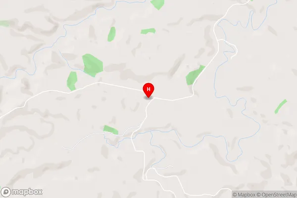
MangaorapaMangaorapa Area Map (Street)
Local Authority
Central Hawke's Bay DistrictFull Address
Mangaorapa, Central Hawke's Bay District, New ZealandAddress Type
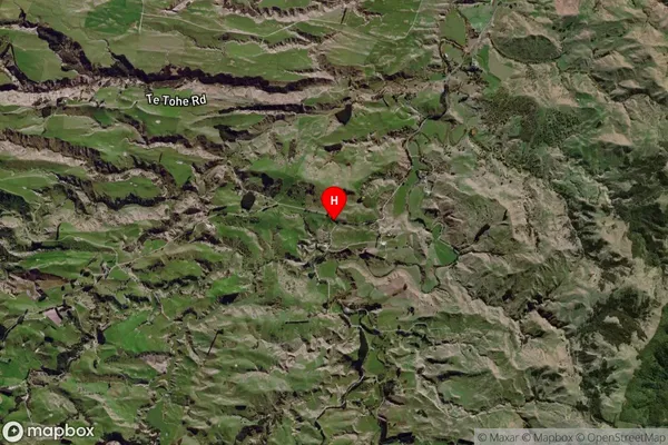
Locality in Major Locality PorangahauMangaorapa Suburb Map (Satellite)
Country
Main Region in AU
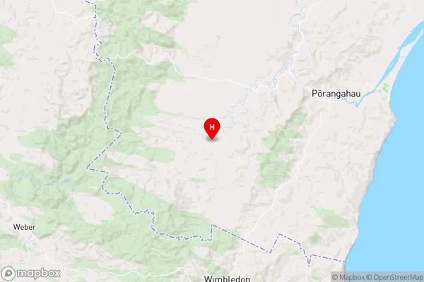
Hawke's BayMangaorapa Region Map
Coordinates
-40.3383011,176.4932799 (latitude/longitude)Distances
The distance from Mangaorapa, Porangahau, Central Hawke's Bay District to NZ Top 10 Cities