Blackhead Area, Blackhead Postcode & Map in Blackhead
Blackhead Area, Blackhead Postcode & Map in Blackhead, Central Hawke's Bay District, New Zealand
Blackhead, Central Hawke's Bay District, New Zealand
Blackhead Area (estimated)
64.8 square kilometersBlackhead Population (estimated)
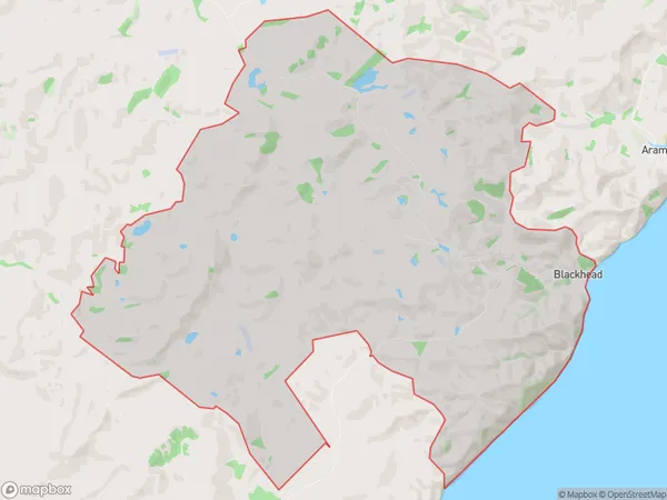
57 people live in Blackhead, Hawke's Bay, NZBlackhead Suburb Area Map (Polygon)
Blackhead Introduction
Porangahau is a small rural community in the Hawke's Bay region of New Zealand. It is known for its scenic views, historic buildings, and strong community spirit. The area is home to a variety of wildlife, including native birds and animals. Porangahau also has a popular golf course and a community hall.Region
Major City
Suburb Name
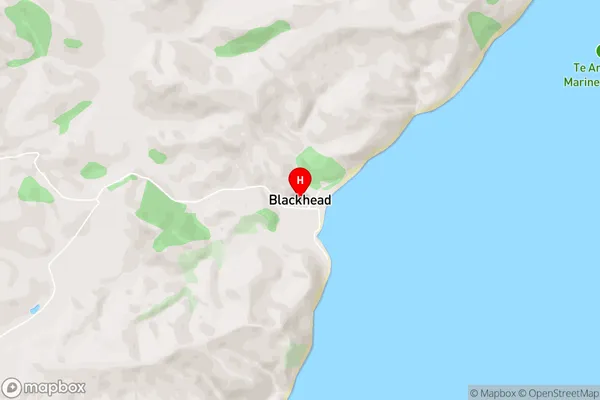
BlackheadBlackhead Area Map (Street)
Local Authority
Central Hawke's Bay DistrictFull Address
Blackhead, Central Hawke's Bay District, New ZealandAddress Type
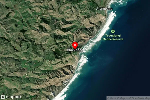
Locality in Major Locality PorangahauBlackhead Suburb Map (Satellite)
Country
Main Region in AU
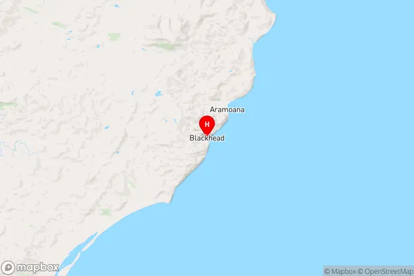
Hawke's BayBlackhead Region Map
Coordinates
-40.1685972,176.8246958 (latitude/longitude)Distances
The distance from Blackhead, Porangahau, Central Hawke's Bay District to NZ Top 10 Cities