Murupara Suburbs & Region, Murupara Map & Postcodes in Murupara, Whakatane, Bay of Plenty
Murupara Postcodes, Murupara ZipCodes, Murupara , Murupara Bay of Plenty, Murupara Suburbs, Murupara Region, Murupara Map, Murupara Area
Murupara Region (Kaingaroa Forest North, Kiorenui Village Region)
Murupara Suburbs
Murupara is a suburb place type in Whakatane, Bay of Plenty, NZ. It contains 3 suburbs or localities.Murupara Region Map
Murupara Introduction
Murupara is a small town in the Bay of Plenty region of New Zealand. It is known for its coal mining and is located on the western coast of the Bay of Plenty. The town has a population of around 2,000 people and is surrounded by stunning natural scenery, including mountains, forests, and beaches. Murupara is also home to a number of historic buildings, including the Murupara Power Station, which was built in the 1920s and is a significant landmark in the area. The town is a popular destination for tourists and has a number of cafes, restaurants, and hotels to accommodate visitors.Murupara Region
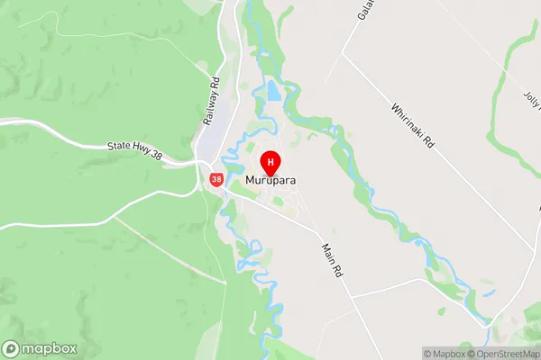
Murupara City
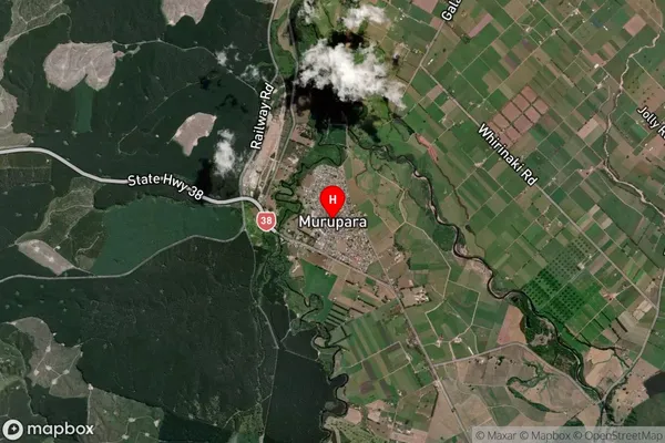
Murupara Satellite Map
Full Address
Murupara, Whakatane, Bay of PlentyMurupara Coordinates
-38.456373,176.706028 (Latitude / Longitude)Murupara Map in NZ
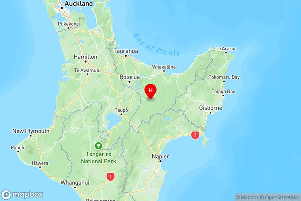
NZ Island
North IslandCountry
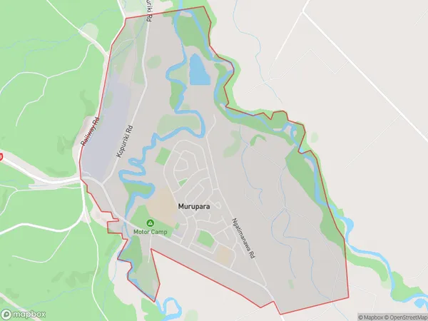
Murupara Area Map (Polygon)
Name
MuruparaAdditional Name
Kaingaroa Forest North, Kiorenui VillageLocal Authority
Whakatane District
Murupara Suburbs (Sort by Population)
Murupara
Murupara - 1990Galatea
Galatea - 793Kaingaroa Forest
Kaingaroa Forest - 476