Murupara Area, Murupara Postcode(3025) & Map in Murupara
Murupara Area, Murupara Postcode(3025) & Map in Murupara, Whakatane District, New Zealand
Murupara, Whakatane District, New Zealand
Murupara Area (estimated)
7.2 square kilometersMurupara Population (estimated)
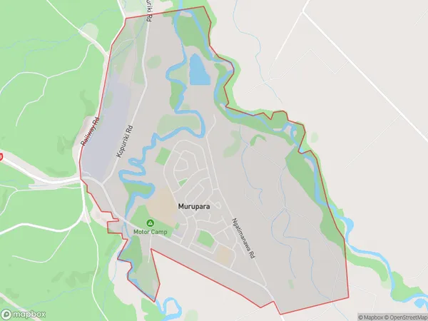
1990 people live in Murupara, Bay of Plenty, NZMurupara Suburb Area Map (Polygon)
Murupara Introduction
Murupara is a small town in the Bay of Plenty region of New Zealand. It is known for its coal mining and is located on the western coast of the Bay of Plenty. The town has a population of around 2,000 people and is surrounded by stunning natural scenery, including mountains, forests, and beaches. Murupara is also home to a number of cultural landmarks, including the Murupara Power Station and the Murupara Museum.Region
Major City
Suburb Name
MuruparaOther Name(s)
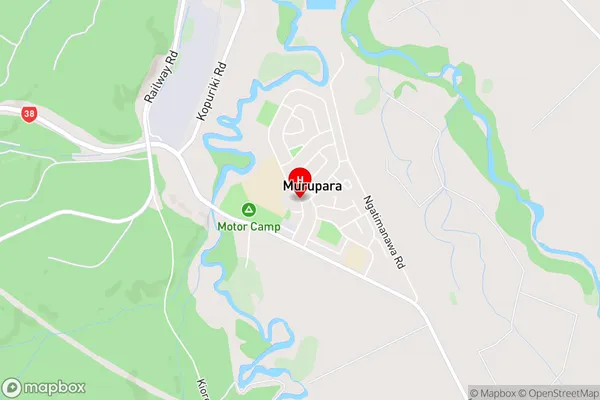
Kaingaroa Forest North, Kiorenui VillageMurupara Area Map (Street)
Local Authority
Whakatane DistrictFull Address
Murupara, Whakatane District, New ZealandAddress Type
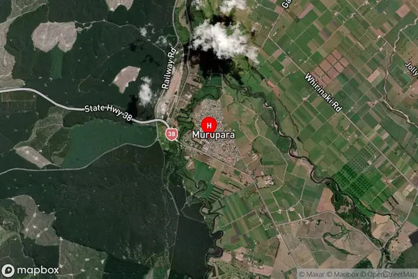
Suburb in Town MuruparaMurupara Suburb Map (Satellite)
Country
Main Region in AU
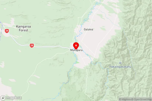
Bay of PlentyMurupara Region Map
Coordinates
-38.4573255,176.7049808 (latitude/longitude)Distances
The distance from Murupara, Murupara, Whakatane District to NZ Top 10 Cities