Galatea Area, Galatea Postcode(3120) & Map in Galatea
Galatea Area, Galatea Postcode(3120) & Map in Galatea, Whakatane District, New Zealand
Galatea, Whakatane District, New Zealand
Galatea Postcodes
Galatea Area (estimated)
154.6 square kilometersGalatea Population (estimated)
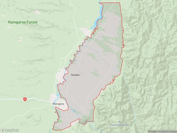
793 people live in Galatea, Bay of Plenty, NZGalatea Suburb Area Map (Polygon)
Galatea Introduction
Galatea is a small rural community in the Murupara District of the Bay of Plenty, New Zealand. It is located on State Highway 2, approximately 20 kilometers southeast of Murupara and 120 kilometers northeast of Tauranga. The community has a population of around 50 people and is known for its scenic surroundings and peaceful atmosphere. Galatea is surrounded by farmland and native bush, and the nearby Murupara River provides a popular spot for fishing and swimming. The community has a small school, a post office, and a community hall, and there are several accommodation options for visitors.Region
Major City
Suburb Name
GalateaOther Name(s)
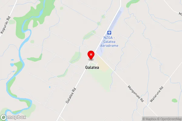
Kaingaroa Forest North, KopurikiGalatea Area Map (Street)
Local Authority
Whakatane DistrictFull Address
Galatea, Whakatane District, New ZealandAddress Type
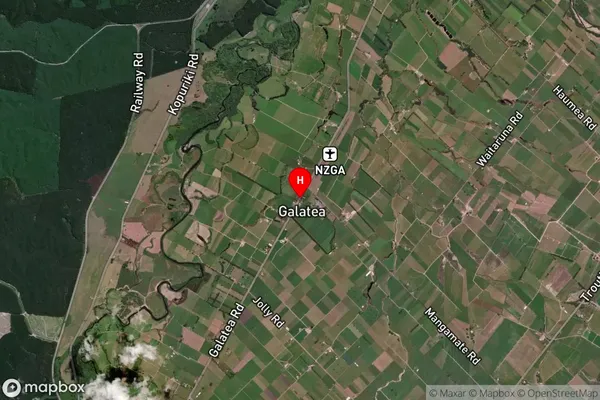
Locality in Town MuruparaGalatea Suburb Map (Satellite)
Country
Main Region in AU
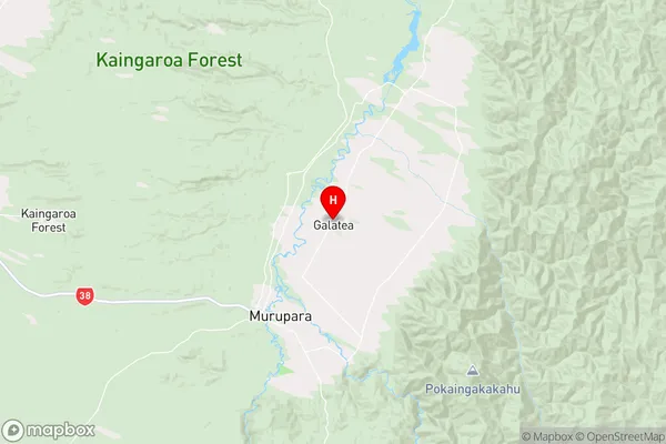
Bay of PlentyGalatea Region Map
Coordinates
-38.4108374,176.738542 (latitude/longitude)Distances
The distance from Galatea, Murupara, Whakatane District to NZ Top 10 Cities