Kawerau Suburbs & Region, Kawerau Map & Postcodes in Kawerau, Bay of Plenty
Kawerau Postcodes, Kawerau ZipCodes, Kawerau , Kawerau Bay of Plenty, Kawerau Suburbs, Kawerau Region, Kawerau Map, Kawerau Area
Kawerau Region
Kawerau Suburbs
Kawerau is a city place type in Bay of Plenty, NZ. It contains 1 suburbs or localities.Kawerau Region Map
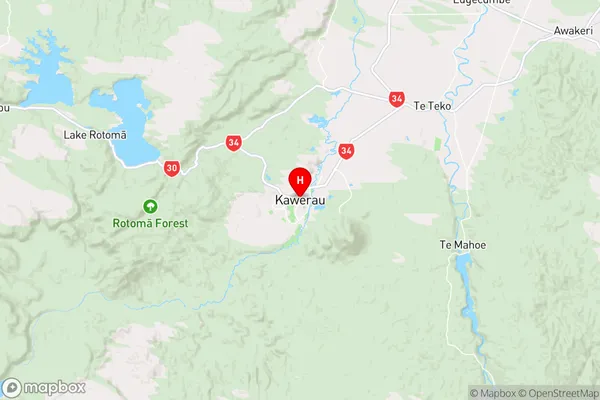
Kawerau Introduction
Kawerau is a small town in the Bay of Plenty region of New Zealand. It is well-known for its hot springs, which draw visitors from all over the world to soak in the natural mineral waters. The town also has a rich history, with evidence of early Māori settlement dating back to around 1200 AD. Kawerau is surrounded by stunning natural scenery, including mountains, forests, and lakes, and is a popular destination for outdoor activities such as hiking, fishing, and skiing. The town has a population of around 5,000 people and is located on the shores of Lake Kawerau, which is the largest lake in New Zealand by area.Kawerau Region
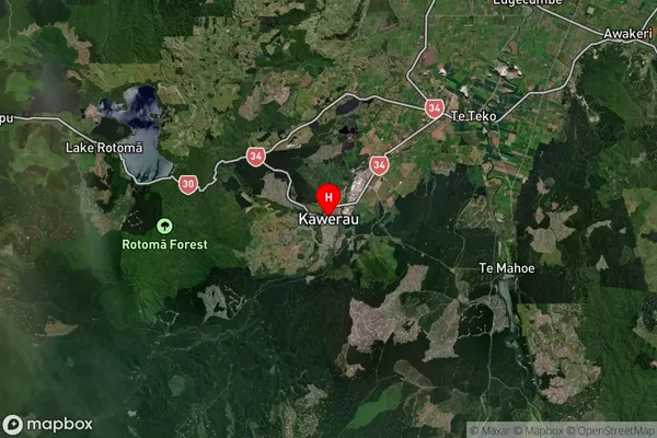
Kawerau Satellite Map
Full Address
Kawerau, Bay of PlentyKawerau Coordinates
-38.085743,176.70333 (Latitude / Longitude)Kawerau Map in NZ
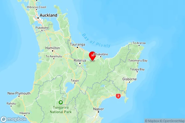
NZ Island
North IslandCountry
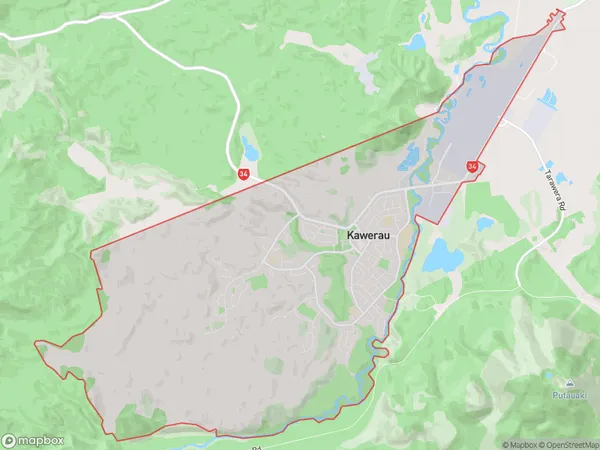
Kawerau Area Map (Polygon)
Name
KawerauAdditional Name
Local Authority
Kawerau District
Kawerau Suburbs (Sort by Population)
Kawerau suburb has around
25.9 square
kilometers.There are more than 7787 people (estimated)
live in Kawerau, Kawerau, Bay of Plenty, New Zealand.
Kawerau Suburbs (Sort in alphabetical)
Kawerau