Putauaki Area, Putauaki Postcode & Map in Putauaki
Putauaki Area, Putauaki Postcode & Map in Putauaki, Whakatane District, New Zealand
Putauaki, Whakatane District, New Zealand
Putauaki Area (estimated)
56.1 square kilometersPutauaki Population (estimated)
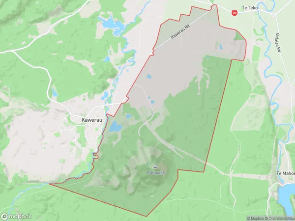
271 people live in Putauaki, Waikato, NZPutauaki Suburb Area Map (Polygon)
Putauaki Introduction
Putauaki is a small rural community in Kawerau, Waikato, New Zealand. It is located on State Highway 2, approximately 20 kilometers north of Kawerau and 100 kilometers south of Hamilton. The community has a population of around 200 people and is known for its scenic surroundings, including the Putauaki Forest and the Kawerau River. The area has a rich history, with evidence of early Māori settlement dating back to the 13th century. The community is also home to a number of historic buildings, including the Putauaki Post Office and the Putauaki Hotel.Region
Major City
Suburb Name
PutauakiOther Name(s)
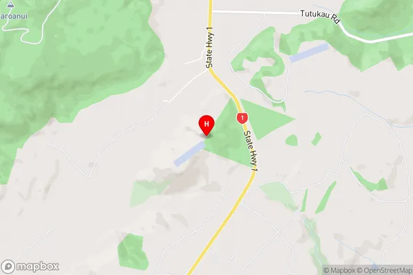
Mount EdgecumbePutauaki Area Map (Street)
Local Authority
Whakatane DistrictFull Address
Putauaki, Whakatane District, New ZealandAddress Type
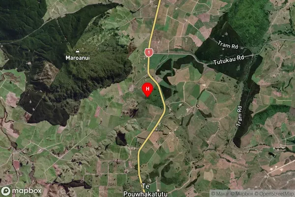
Locality in Town KawerauPutauaki Suburb Map (Satellite)
Country
Main Region in AU
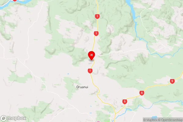
WaikatoPutauaki Region Map
Coordinates
-38.530917,176.045778 (latitude/longitude)Distances
The distance from Putauaki, Kawerau, Whakatane District to NZ Top 10 Cities