Mount Tarawera Area, Mount Tarawera Postcode(3010) & Map in Mount Tarawera
Mount Tarawera Area, Mount Tarawera Postcode(3010) & Map in Mount Tarawera, Rotorua District, New Zealand
Mount Tarawera, Rotorua District, New Zealand
Mount Tarawera Postcodes
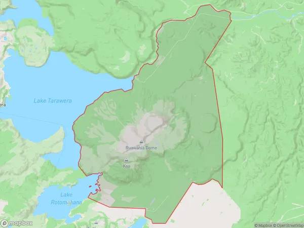
Mount Tarawera Area (estimated)
134.1 square kilometersMount Tarawera Population (estimated)
5 people live in Mount Tarawera, Bay of Plenty, NZMount Tarawera Suburb Area Map (Polygon)
Mount Tarawera Introduction
Mount Tarawera, Kawerau, Bay of Plenty, NZ, is an active stratovolcano with a height of 2,767 meters. It is one of New Zealand's most active volcanoes and is known for its stunning landscape and cultural significance to local Māori people. The volcano last erupted in 1886, but it is still considered active and has a warning zone around it.Region
Major City
Suburb Name
Mount TaraweraOther Name(s)
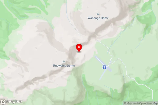
Mt TaraweraMount Tarawera Area Map (Street)
Local Authority
Rotorua DistrictFull Address
Mount Tarawera, Rotorua District, New ZealandAddress Type
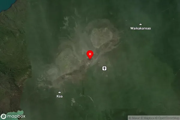
Locality in Town KawerauMount Tarawera Suburb Map (Satellite)
Country
Main Region in AU
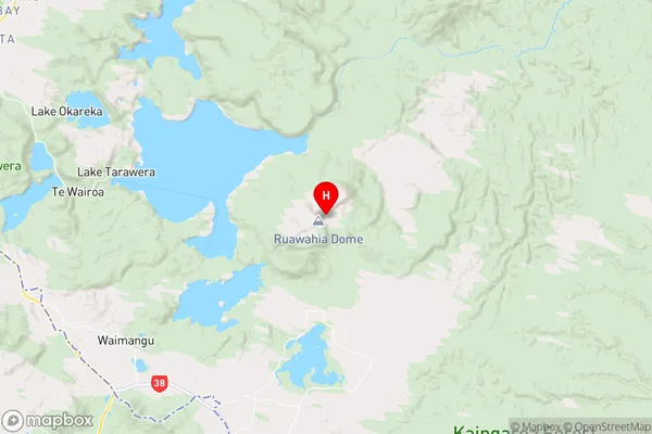
Bay of PlentyMount Tarawera Region Map
Coordinates
-38.2246458,176.5115878 (latitude/longitude)Distances
The distance from Mount Tarawera, Kawerau, Rotorua District to NZ Top 10 Cities