Kawerau Area, Kawerau Postcode(3127) & Map in Kawerau
Kawerau Area, Kawerau Postcode(3127) & Map in Kawerau, Kawerau District,
Kawerau, Kawerau District,
Kawerau Area (estimated)
25.9 square kilometersKawerau Population (estimated)
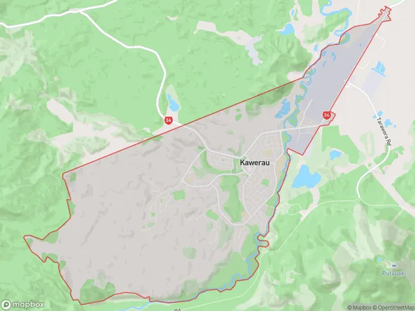
7787 people live in Kawerau, Kawerau, NZKawerau Suburb Area Map (Polygon)
Kawerau Introduction
Kawerau is a small town in the Bay of Plenty, New Zealand, known for its hot springs, outdoor activities, and proximity to the Coromandel Peninsula. It is also home to a large petrochemical plant and a power station.Region
Major City
Suburb Name
KawerauKawerau Area Map (Street)
Local Authority
Kawerau DistrictFull Address
Kawerau, Kawerau District,Address Type
Suburb in Town KawerauKawerau Suburb Map (Satellite)
Country
Main Region in AU
Bay of PlentyKawerau Region Map
Coordinates
0,0 (latitude/longitude)Distances
The distance from Kawerau, Kawerau, Kawerau District to NZ Top 10 Cities