Kaeo Suburbs & Region, Kaeo Map & Postcodes in Kaeo, Far North, Northland
Kaeo Postcodes, Kaeo ZipCodes, Kaeo , Kaeo Northland, Kaeo Suburbs, Kaeo Region, Kaeo Map, Kaeo Area
Kaeo Region (Mahinepua, Mangapa, Matangirau, Omaunu, Orotere, Otangaroa, Otoroa, Pupuke, Tauranga Valley, Te Huia, Te Ngaere, Upokorau, Waiare, Waihapa, Waihuka, Wainui, Waitaruke Region)
Kaeo Suburbs
Kaeo is a city place type in Far North, Northland, NZ. It contains 4 suburbs or localities.Kaeo district
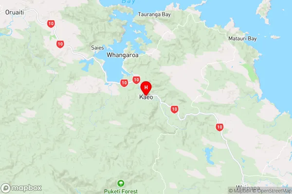
Far NorthKaeo Region Map
Kaeo Introduction
Kaeo is a small town in Northland, New Zealand, located on the banks of the Kaeo River. It is known for its scenic beauty, with lush green forests and a stunning river setting. The town has a population of around 1,000 people and is a popular tourist destination, particularly for those interested in hiking, fishing, and exploring the local culture. The town also has a primary school, a post office, and a small supermarket. Kaeo is located about 35 kilometers south of Kaitaia and 125 kilometers north of Whangarei.Kaeo Region
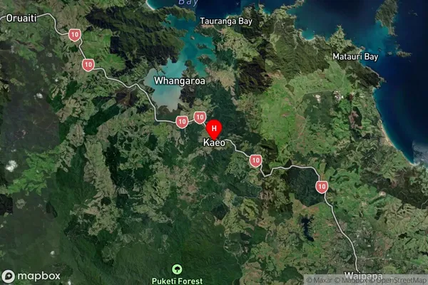
Kaeo Satellite Map
Full Address
Kaeo, Far North, NorthlandKaeo Coordinates
-35.101744,173.775107 (Latitude / Longitude)Kaeo Map in NZ
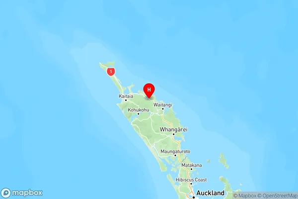
NZ Island
North IslandCountry
Kaeo Area Map (Polygon)
Not available for nowName
KaeoAdditional Name
Mahinepua, Mangapa, Matangirau, Omaunu, Orotere, Otangaroa, Otoroa, Pupuke, Tauranga Valley, Te Huia, Te Ngaere, Upokorau, Waiare, Waihapa, Waihuka, Wainui, WaitarukeLocal Authority
Far North District
Kaeo Suburbs (Sort by Population)
Kaeo
Kaeo - 2900Matauri Bay
Matauri Bay - 318Totara North
Totara North - 311Whangaroa
Whangaroa - 226