Matauri Bay Area, Matauri Bay Postcode & Map in Matauri Bay
Matauri Bay Area, Matauri Bay Postcode & Map in Matauri Bay, Far North District, New Zealand
Matauri Bay, Far North District, New Zealand
Matauri Bay Area (estimated)
50.7 square kilometersMatauri Bay Population (estimated)
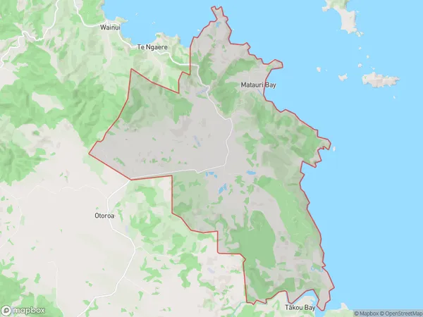
318 people live in Matauri Bay, Bay of Islands-Whangaroa Community, NZMatauri Bay Suburb Area Map (Polygon)
Matauri Bay Introduction
Matauri Bay is a picturesque beach located in Kaeo, Northland, New Zealand. It is known for its clear waters, golden sand, and stunning coastal views. The bay is a popular spot for swimming, surfing, and fishing, and it is surrounded by lush green forests and picturesque hills. The area also has a rich cultural heritage, with several ancient archaeological sites nearby.Region
Major City
Suburb Name
Matauri BayOther Name(s)
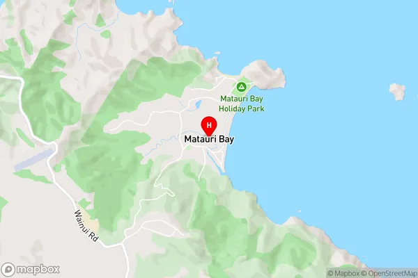
TepeneMatauri Bay Area Map (Street)
Local Authority
Far North DistrictFull Address
Matauri Bay, Far North District, New ZealandAddress Type
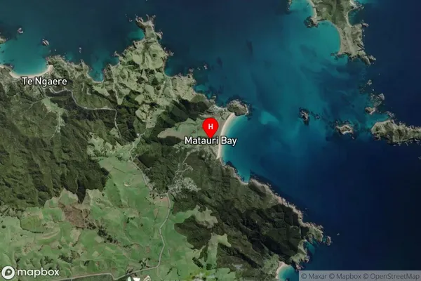
Locality in Town KaeoMatauri Bay Suburb Map (Satellite)
Country
Main Region in AU
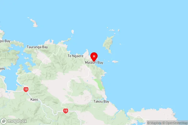
NorthlandMatauri Bay Region Map
Coordinates
-35.0339202,173.9110995 (latitude/longitude)Distances
The distance from Matauri Bay, Kaeo, Far North District to NZ Top 10 Cities