Kaeo Area, Kaeo Postcode(0448) & Map in Kaeo
Kaeo Area, Kaeo Postcode(0448) & Map in Kaeo, Far North District, New Zealand
Kaeo, Far North District, New Zealand
Kaeo Area (estimated)
-1.2 square kilometersKaeo Population (estimated)
2900 people live in Kaeo, Bay of Islands-Whangaroa Community, NZKaeo Suburb Area Map (Polygon)
Not available for nowKaeo Introduction
Kaeo is a small town in Northland, New Zealand, with a population of around 100 people. It is known for its scenic surroundings, including the Kaeo River and the Kaeo Forest. The town is located in the Kaipara District and is surrounded by farmland and native forest. Kaeo is a popular destination for outdoor activities such as hiking, fishing, and hunting, and is also home to a number of historic buildings and landmarks.Region
Major City
Suburb Name
KaeoOther Name(s)
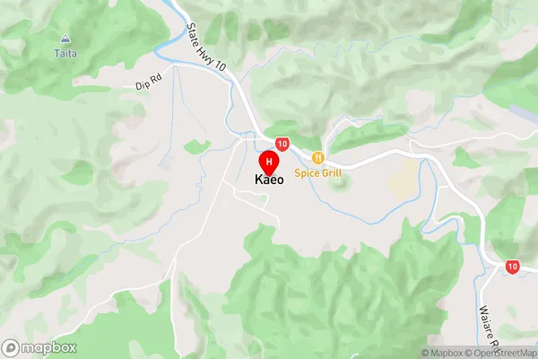
Mahinepua, Mangapa, Matangirau, Omaunu, Orotere, Otangaroa, Otoroa, Pupuke, Tauranga Valley, Te Huia, Te Ngaere, Upokorau, Waiare, Waihapa, Waihuka, Wainui, WaitarukeKaeo Area Map (Street)
Local Authority
Far North DistrictFull Address
Kaeo, Far North District, New ZealandAddress Type
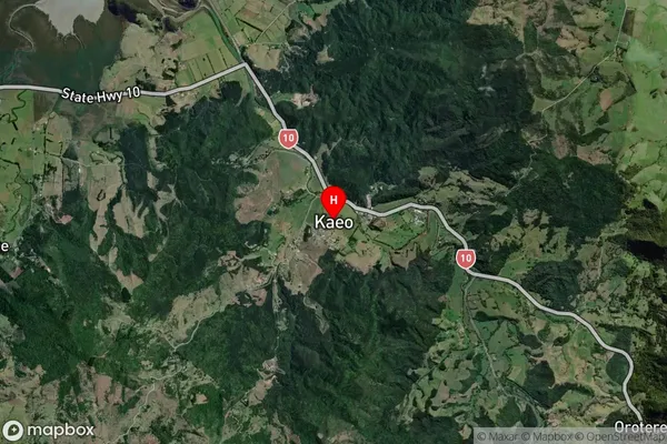
Locality in Town KaeoKaeo Suburb Map (Satellite)
Country
Main Region in AU
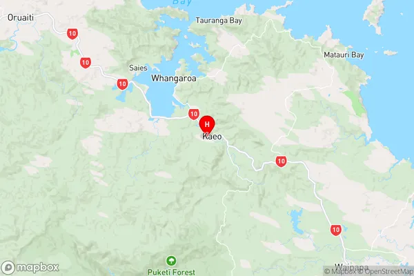
NorthlandKaeo Region Map
Coordinates
-35.1017438,173.7751075 (latitude/longitude)Distances
The distance from Kaeo, Kaeo, Far North District to NZ Top 10 Cities