Whangaroa Area, Whangaroa Postcode(0479) & Map in Whangaroa
Whangaroa Area, Whangaroa Postcode(0479) & Map in Whangaroa, Far North District, New Zealand
Whangaroa, Far North District, New Zealand
Whangaroa Postcodes
Whangaroa Area (estimated)
2.8 square kilometersWhangaroa Population (estimated)
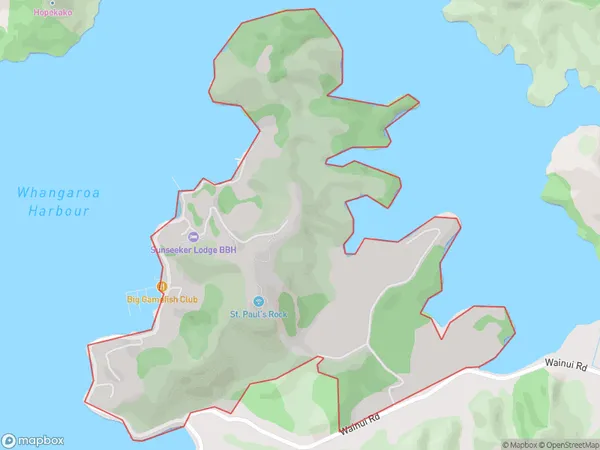
226 people live in Whangaroa, Bay of Islands-Whangaroa Community, NZWhangaroa Suburb Area Map (Polygon)
Whangaroa Introduction
Whangaroa is a small, remote Northland town located on the northern tip of the North Island of New Zealand. It is known for its stunning natural scenery, including the iconic Whangaroa Islands, which are a popular destination for tourists and outdoor enthusiasts. The town has a population of around 1,000 people and is surrounded by lush forests, pristine beaches, and crystal-clear waters. It is also home to a variety of native species, including the rare Northland kiwi bird.Region
Major City
Suburb Name
WhangaroaOther Name(s)
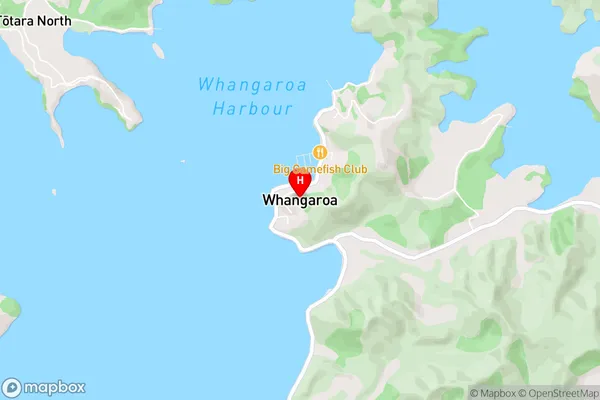
WhangeroaWhangaroa Area Map (Street)
Local Authority
Far North DistrictFull Address
Whangaroa, Far North District, New ZealandAddress Type
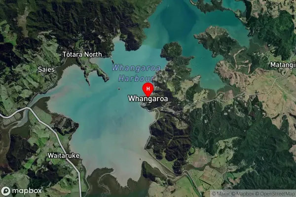
Locality in Town KaeoWhangaroa Suburb Map (Satellite)
Country
Main Region in AU
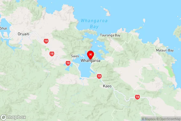
NorthlandWhangaroa Region Map
Coordinates
-35.0529406,173.7420992 (latitude/longitude)Distances
The distance from Whangaroa, Kaeo, Far North District to NZ Top 10 Cities