Christchurch East Suburbs & Region, Christchurch East Map & Postcodes in Christchurch East, Christchurch, Canterbury, South Island, New Zealand
Christchurch East Postcodes, Christchurch East ZipCodes, Christchurch East , Christchurch East Canterbury, Christchurch East Suburbs, Christchurch East Region, Christchurch East Map, Christchurch East Area
Christchurch East Region
Christchurch East Suburbs
Christchurch East is a district place type in Christchurch, Canterbury, South Island, New Zealand, NZ. It contains 16 suburbs or localities.Christchurch East Postcodes
Christchurch East district
Christchurch EastChristchurch East Introduction
Christchurch East is a suburb of Christchurch, New Zealand, located in the eastern part of the city. It is known for its historic homes, leafy streets, and vibrant community. The suburb is home to a variety of shops, restaurants, and recreational facilities, including the Christchurch East Pool and Recreation Centre. It is also well-connected to other parts of the city, with easy access to the motorway and public transport. Christchurch East is a popular area for families and professionals alike, with its peaceful atmosphere and convenient location.Christchurch East Region
Christchurch East City
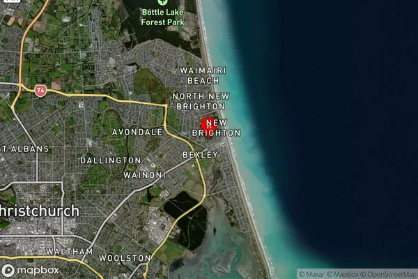
Christchurch East Satellite Map

Full Address
Christchurch East, Christchurch, Canterbury, South Island, New ZealandChristchurch East Coordinates
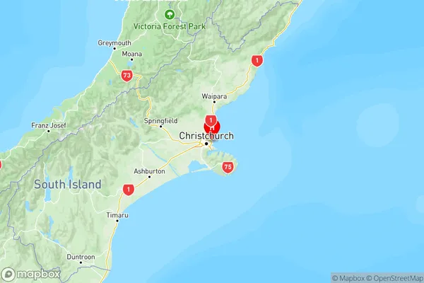
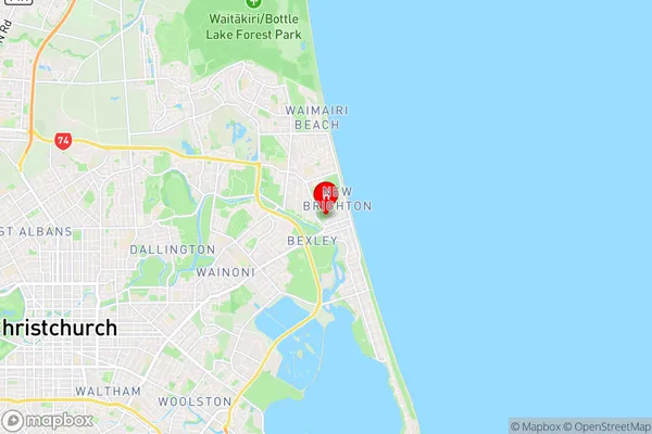
-43.5055365,172.7228775 (Latitude / Longitude)Christchurch East Map in NZ

NZ Island
South IslandCountry
Christchurch East Suburbs (Sort by Population)
Christchurch East Suburbs (Sort in alphabetical)
Aranui
Avondale
Bexley
Bromley
Brooklands
Burwood
Dallington
Kainga
Marshland
New Brighton
North New Brighton
Parklands
South New Brighton
Spencerville
Waimairi Beach
Wainoni
