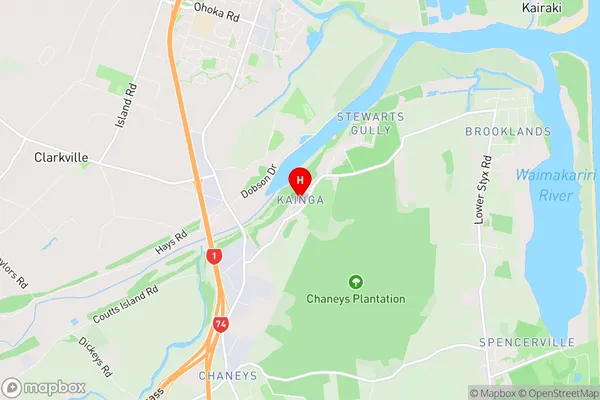
Kainga Suburbs & Region, Kainga Map & Postcodes in Kainga, Christchurch East, Christchurch, Canterbury, South Island, New Zealand
Kainga Postcodes, Kainga ZipCodes, Kainga , Kainga Canterbury, Kainga Suburbs, Kainga Region, Kainga Map, Kainga Area
Kainga Region (Bridgend, Chaneys, Stewarts Gully Region)
Kainga Suburbs
Kainga is a suburb place type in Christchurch East, Christchurch, Canterbury, South Island, New Zealand, NZ. It contains 0 suburbs or localities.Kainga Postcodes
Kainga district
Christchurch EastKainga Region Map

Kainga Introduction
Kainga, also known as the "City of Trees," is a small town located in Canterbury, New Zealand. It is situated on the banks of the Hurunui River and is known for its stunning natural beauty, including lush forests, picturesque gardens, and a variety of wildlife. The town has a rich history and was once the capital of the Canterbury Province. It is home to several historic buildings, including the Kainga Ora Hospice, which provides end-of-life care to the elderly and terminally ill. Kainga also has a vibrant arts community, with a number of galleries, museums, and theaters. The town is a popular destination for tourists and locals alike, with many outdoor activities to enjoy, including hiking, cycling, and fishing.Kainga Region
Kainga City
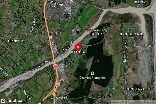
Kainga Satellite Map

Full Address
Kainga, Christchurch East, Christchurch, Canterbury, South Island, New ZealandKainga Coordinates
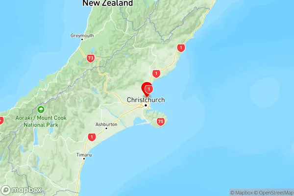
-43.410623,172.662298 (Latitude / Longitude)Kainga Map in NZ

NZ Island
South IslandCountry
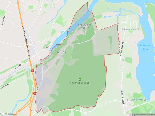
Kainga Area Map (Polygon)

Name
KaingaAdditional Name
Bridgend, Chaneys, Stewarts GullyLocal Authority
Christchurch City
Kainga Suburbs (Sort by Population)
Kainga also known as Bridgend, Chaneys, Stewarts Gully. Kainga suburb has around
11.6 square
kilometers.There are more than 522 people (estimated)
live in Kainga, Christchurch, Canterbury, New Zealand.