Kainga Area, Kainga Postcode(7630) & Map in Kainga
Kainga Area, Kainga Postcode(7630) & Map in Kainga, Christchurch City, New Zealand
Kainga, Christchurch City, New Zealand
Kainga Area (estimated)
11.6 square kilometersKainga Population (estimated)
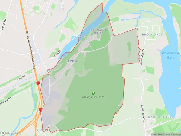
522 people live in Kainga, Christchurch, NZKainga Suburb Area Map (Polygon)
Kainga Introduction
Kainga, Christchurch, Canterbury, NZ, is a residential area that was severely damaged by the 2011 Christchurch earthquake. It is known for its vibrant community and cultural heritage, with many historic buildings and landmarks. The area is undergoing regeneration and reconstruction, with efforts to create a safe and sustainable environment for its residents.Region
Major City
Suburb Name
KaingaOther Name(s)
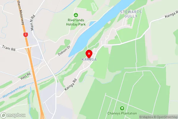
Bridgend, Chaneys, Stewarts GullyKainga Area Map (Street)
Local Authority
Christchurch CityFull Address
Kainga, Christchurch City, New ZealandAddress Type
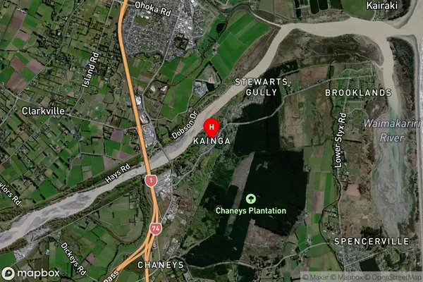
Suburb in City ChristchurchKainga Suburb Map (Satellite)
Country
Main Region in AU
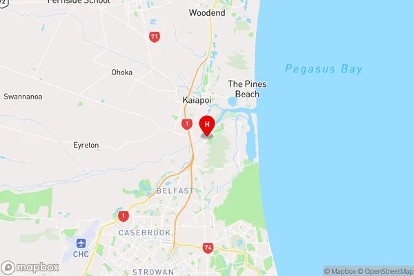
CanterburyKainga Region Map
Coordinates
-43.4106234,172.6622985 (latitude/longitude)Distances
The distance from Kainga, Christchurch, Christchurch City to NZ Top 10 Cities