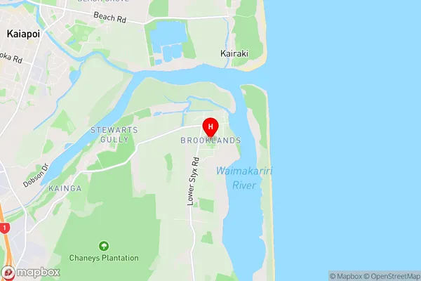
Brooklands Suburbs & Region, Brooklands Map & Postcodes in Brooklands, Christchurch East, Christchurch, Canterbury, South Island, New Zealand
Brooklands Postcodes, Brooklands ZipCodes, Brooklands , Brooklands Canterbury, Brooklands Suburbs, Brooklands Region, Brooklands Map, Brooklands Area
Brooklands Region (Camside, Kairaki Beach Region)
Brooklands Suburbs
Brooklands is a suburb place type in Christchurch East, Christchurch, Canterbury, South Island, New Zealand, NZ. It contains 0 suburbs or localities.Brooklands Postcodes
Brooklands district
Christchurch EastBrooklands Region Map

Brooklands Introduction
Brooklands is a suburb of Christchurch, New Zealand, located in the eastern suburbs of the city. It is known for its historic racing track, which was built in the early 1900s and was used for motor racing, speed trials, and motorcycle racing. The track was closed in the 1960s but has since been redeveloped into a residential area. Brooklands also has a variety of shops, restaurants, and parks, and is close to the city's airport and central business district.Brooklands Region
Brooklands City
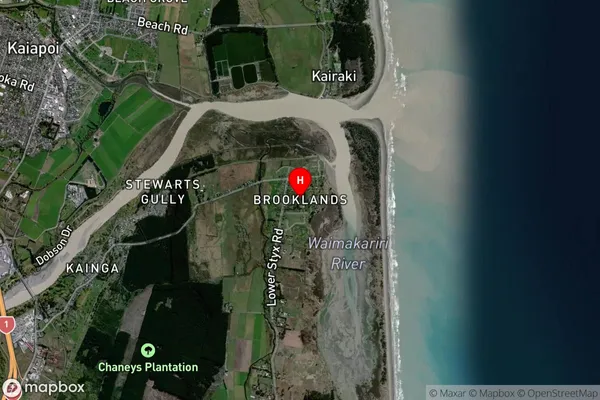
Brooklands Satellite Map

Full Address
Brooklands, Christchurch East, Christchurch, Canterbury, South Island, New ZealandBrooklands Coordinates
-43.402105,172.697972 (Latitude / Longitude)Brooklands Map in NZ

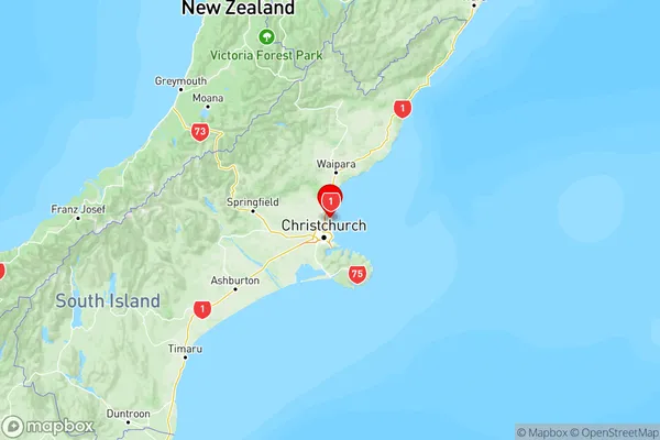
NZ Island
South IslandCountry
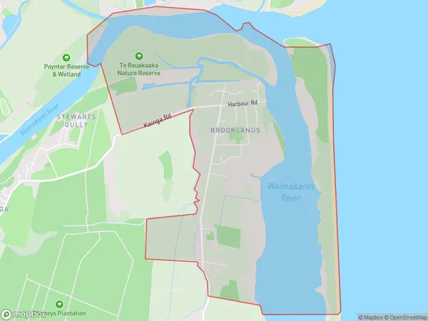
Brooklands Area Map (Polygon)

Name
BrooklandsAdditional Name
Camside, Kairaki BeachLocal Authority
Christchurch City
Brooklands Suburbs (Sort by Population)
Brooklands also known as Camside, Kairaki Beach. Brooklands suburb has around
8.8 square
kilometers.There are more than 154 people (estimated)
live in Brooklands, Coastal-Burwood Community, Canterbury, New Zealand.