Brooklands Area, Brooklands Postcode(8083) & Map in Brooklands
Brooklands Area, Brooklands Postcode(8083) & Map in Brooklands, Christchurch City, New Zealand
Brooklands, Christchurch City, New Zealand
Brooklands Postcodes
Brooklands Area (estimated)
8.8 square kilometersBrooklands Population (estimated)
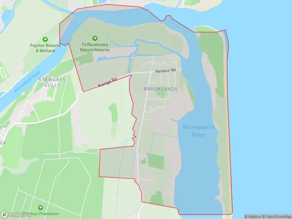
154 people live in Brooklands, Coastal-Burwood Community, NZBrooklands Suburb Area Map (Polygon)
Brooklands Introduction
Brooklands is a suburb of Christchurch, New Zealand, located in the eastern suburbs of the city. It is known for its historic racing track, which was used for motor racing from 1907 to 1990. The suburb also has a variety of shops, restaurants, and parks, and is home to a large number of students from the University of Canterbury.Region
Major City
Suburb Name
BrooklandsOther Name(s)
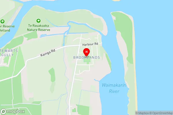
Camside, Kairaki BeachBrooklands Area Map (Street)
Local Authority
Christchurch CityFull Address
Brooklands, Christchurch City, New ZealandAddress Type
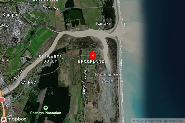
Suburb in City ChristchurchBrooklands Suburb Map (Satellite)
Country
Main Region in AU
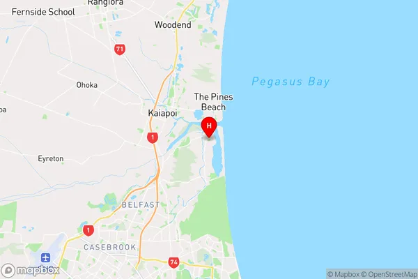
CanterburyBrooklands Region Map
Coordinates
-43.4021055,172.6979724 (latitude/longitude)Distances
The distance from Brooklands, Christchurch, Christchurch City to NZ Top 10 Cities