Parklands Suburbs & Region, Parklands Map & Postcodes in Parklands, Christchurch East, Christchurch, Canterbury, South Island, New Zealand
Parklands Postcodes, Parklands ZipCodes, Parklands , Parklands Canterbury, Parklands Suburbs, Parklands Region, Parklands Map, Parklands Area
Parklands Region (North Beach, Queenspark Region)
Parklands Suburbs
Parklands is a suburb place type in Christchurch East, Christchurch, Canterbury, South Island, New Zealand, NZ. It contains 0 suburbs or localities.Parklands Postcodes
Parklands district
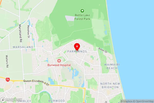
Christchurch EastParklands Region Map

Parklands Introduction
Parklands is a suburb of Christchurch, New Zealand, located in the eastern suburbs of the city. It is known for its large green spaces, including the Parklands Reserve, which is a popular recreational area with walking and cycling tracks, a playground, and a golf course. The suburb also has a variety of housing options, from modern apartments to historic homes, and is well-connected to the rest of the city via public transportation.Parklands Region
Parklands City
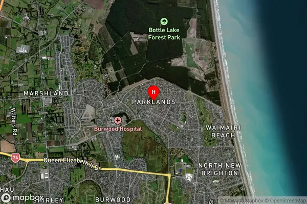
Parklands Satellite Map

Full Address
Parklands, Christchurch East, Christchurch, Canterbury, South Island, New ZealandParklands Coordinates
-43.475532,172.696538 (Latitude / Longitude)Parklands Map in NZ

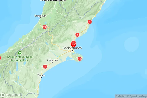
NZ Island
South IslandCountry
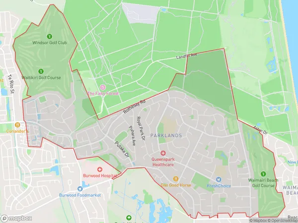
Parklands Area Map (Polygon)

Name
ParklandsAdditional Name
North Beach, QueensparkLocal Authority
Christchurch City
Parklands Suburbs (Sort by Population)
Parklands also known as North Beach, Queenspark. Parklands suburb has around
6.8 square
kilometers.There are more than 10648 people (estimated)
live in Parklands, Coastal-Burwood Community, Canterbury, New Zealand.