Parklands Area, Parklands Postcode(8083) & Map in Parklands
Parklands Area, Parklands Postcode(8083) & Map in Parklands, Christchurch City, New Zealand
Parklands, Christchurch City, New Zealand
Parklands Postcodes
Parklands Area (estimated)
6.8 square kilometersParklands Population (estimated)
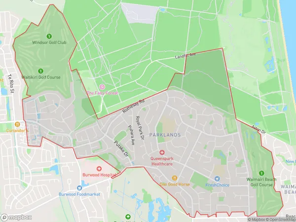
10648 people live in Parklands, Coastal-Burwood Community, NZParklands Suburb Area Map (Polygon)
Parklands Introduction
Parklands is a suburb of Christchurch, New Zealand, located in the eastern suburbs of the city. It is known for its large green spaces, including the Parklands Reserve, which is a popular recreational area with walking and biking trails. The suburb has a mix of residential and commercial properties, with several schools and hospitals in the area. It is also home to the Christchurch Botanic Gardens, which is a popular tourist attraction with over 12,000 species of plants and flowers.Region
Major City
Suburb Name
ParklandsOther Name(s)
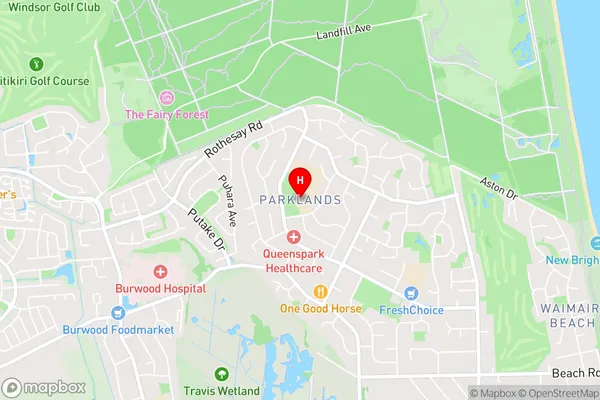
North Beach, QueensparkParklands Area Map (Street)
Local Authority
Christchurch CityFull Address
Parklands, Christchurch City, New ZealandAddress Type
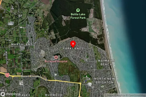
Suburb in City ChristchurchParklands Suburb Map (Satellite)
Country
Main Region in AU
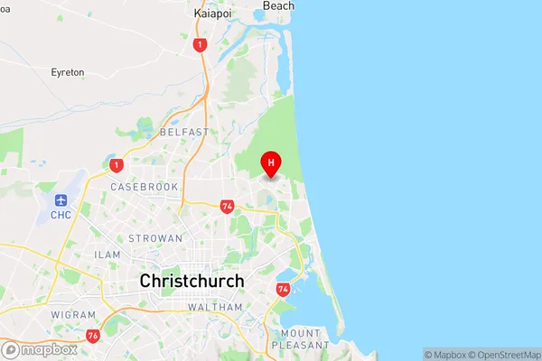
CanterburyParklands Region Map
Coordinates
-43.4755324,172.6965379 (latitude/longitude)Distances
The distance from Parklands, Christchurch, Christchurch City to NZ Top 10 Cities