Mossburn Suburbs & Region, Mossburn Map & Postcodes in Mossburn, Southland, Southland
Mossburn Postcodes, Mossburn ZipCodes, Mossburn , Mossburn Southland, Mossburn Suburbs, Mossburn Region, Mossburn Map, Mossburn Area
Mossburn Region
Mossburn Suburbs
Mossburn is a suburb place type in Southland, Southland, NZ. It contains 4 suburbs or localities.Mossburn district
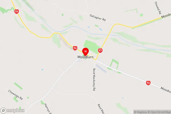
SouthlandMossburn Region Map
Mossburn Introduction
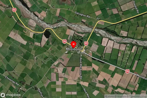
Mossburn is a small town in Southland, New Zealand, located in the Southland District of the South Island. It is situated on the banks of the Mossburn River, approximately 20 kilometers southeast of Gore and 120 kilometers southwest of Invercargill. The town has a population of around 3,000 people and is known for its agricultural industry, particularly sheep farming and forestry. Mossburn is also home to a number of historic buildings, including the Old Mossburn Hotel, which was built in 1878. The town is surrounded by scenic countryside and is a popular destination for outdoor activities such as hiking, skiing, and fishing.Mossburn Region
Mossburn City
Mossburn Satellite Map
Full Address
Mossburn, Southland, SouthlandMossburn Coordinates
-45.669331,168.234768 (Latitude / Longitude)Mossburn Map in NZ
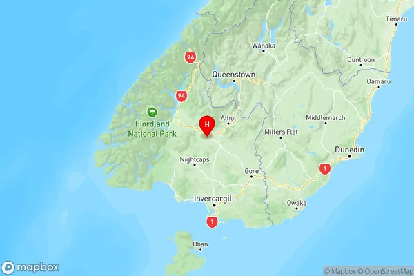
NZ Island
South IslandCountry
Mossburn Suburbs (Sort by Population)
Mossburn
Mossburn - 412Centre Hill
Centre Hill - 42Braxton
Braxton - 20Hamilton Burn
Hamilton Burn - 11