Centre Hill Area, Centre Hill Postcode & Map in Centre Hill
Centre Hill Area, Centre Hill Postcode & Map in Centre Hill, Southland District, New Zealand
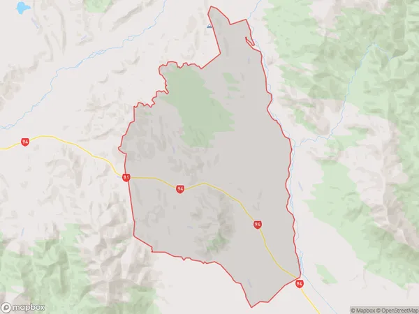
Centre Hill, Southland District, New Zealand
Centre Hill Area (estimated)
131.8 square kilometersCentre Hill Population (estimated)
42 people live in Centre Hill, Waihopai Toetoe Community, NZCentre Hill Suburb Area Map (Polygon)
Centre Hill Introduction
Centre Hill is a historic hill settlement in Mossburn, Southland, New Zealand. It was established in the 1860s by Scottish and Irish settlers and is known for its well-preserved wooden buildings and scenic views. The area is a popular tourist destination and is home to a variety of wildlife, including kea, tui, and kiwi.Region
Major City
Suburb Name
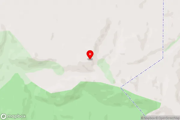
Centre HillCentre Hill Area Map (Street)
Local Authority
Southland DistrictFull Address
Centre Hill, Southland District, New ZealandAddress Type
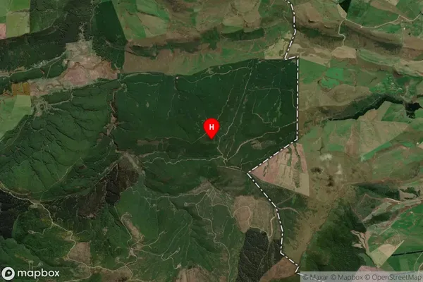
Locality in Major Locality MossburnCentre Hill Suburb Map (Satellite)
Country
Main Region in AU
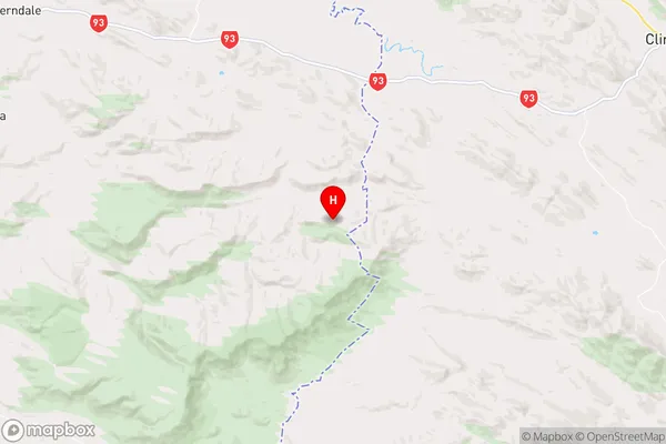
SouthlandCentre Hill Region Map
Coordinates
-46.28025,169.16816 (latitude/longitude)Distances
The distance from Centre Hill, Mossburn, Southland District to NZ Top 10 Cities