Braxton Area, Braxton Postcode & Map in Braxton
Braxton Area, Braxton Postcode & Map in Braxton, Southland District,
Braxton, Southland District,
Braxton Area (estimated)
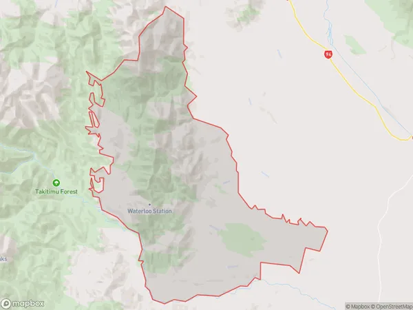
133.6 square kilometersBraxton Population (estimated)
20 people live in Braxton, Lumsden, NZBraxton Suburb Area Map (Polygon)
Braxton Introduction
Braxton is a small rural community in Southland, New Zealand, located on the banks of the Mataura River. It is known for its scenic surroundings, including the Mataura Forest and the surrounding mountains. The community has a primary school, a post office, and a small supermarket. Braxton is a popular destination for outdoor enthusiasts, with many opportunities for hiking, fishing, and hunting.Region
Major City
Suburb Name
BraxtonBraxton Area Map (Street)
Local Authority
Southland DistrictFull Address
Braxton, Southland District,Address Type
Locality in Major Locality MossburnBraxton Suburb Map (Satellite)
Country
Main Region in AU
SouthlandBraxton Region Map
Coordinates
0,0 (latitude/longitude)Distances
The distance from Braxton, Mossburn, Southland District to NZ Top 10 Cities