Loburn Suburbs & Region, Loburn Map & Postcodes in Loburn, Waimakariri, Canterbury
Loburn Postcodes, Loburn ZipCodes, Loburn , Loburn Canterbury, Loburn Suburbs, Loburn Region, Loburn Map, Loburn Area
Loburn Region (Loburn North, White Rock, Whiterock Region)
Loburn Suburbs
Loburn is a suburb place type in Waimakariri, Canterbury, NZ. It contains 3 suburbs or localities.Loburn Postcodes
Loburn district
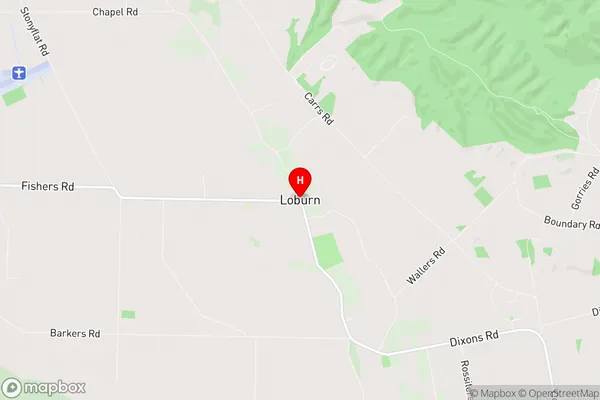
WaimakaririLoburn Region Map
Loburn Introduction
Loburn is a suburb of Christchurch, New Zealand, located 7 kilometers southeast of the city center. It is known for its historic buildings, including the Loburn Villa, which is listed as a "Category I" historic place by the Heritage New Zealand. The suburb has a population of around 8,000 people and is surrounded by picturesque gardens and parks. It is also home to a variety of shops, restaurants, and recreational facilities, including the Loburn Golf Club and the Loburn Aquatic Centre.Loburn Region
Loburn City
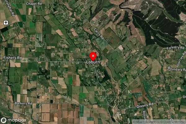
Loburn Satellite Map
Full Address
Loburn, Waimakariri, CanterburyLoburn Coordinates
-43.249772,172.538735 (Latitude / Longitude)Loburn Map in NZ
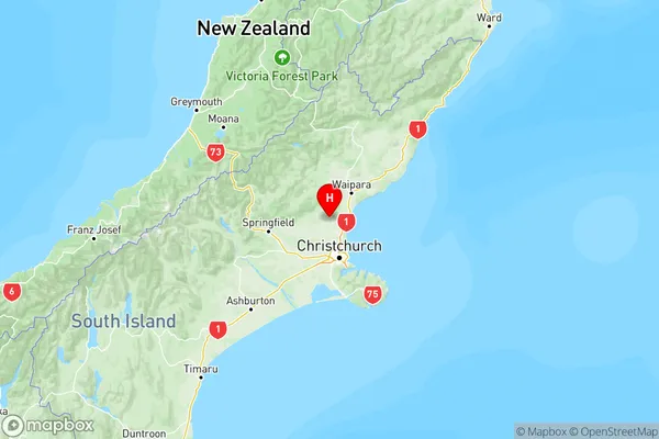
NZ Island
South IslandCountry
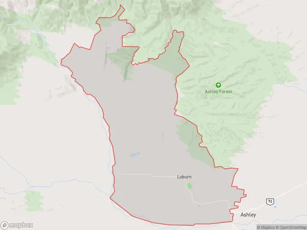
Loburn Area Map (Polygon)
Name
LoburnAdditional Name
Loburn North, White Rock, WhiterockLocal Authority
Waimakariri District
Loburn Suburbs (Sort by Population)
Loburn
Loburn - 2619Okuku Range
Okuku Range - 12Ashley Forest
Ashley Forest - 5