Loburn Area, Loburn Postcode(7472) & Map in Loburn
Loburn Area, Loburn Postcode(7472) & Map in Loburn, Waimakariri District, New Zealand
Loburn, Waimakariri District, New Zealand
Loburn Postcodes
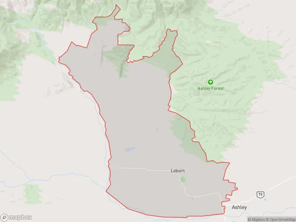
Loburn Area (estimated)
136.9 square kilometersLoburn Population (estimated)
2619 people live in Loburn, Canterbury, NZLoburn Suburb Area Map (Polygon)
Loburn Introduction
Loburn is a suburb of Christchurch, New Zealand, located 7 kilometers south of the city center. It is known for its historic buildings, including the Loburn Villa, which is listed as a "Category I" historic place by the Heritage New Zealand. The suburb has a population of around 8,000 people and is surrounded by picturesque gardens and parks.Region
Major City
Suburb Name
LoburnOther Name(s)
Loburn North, White Rock, WhiterockLoburn Area Map (Street)
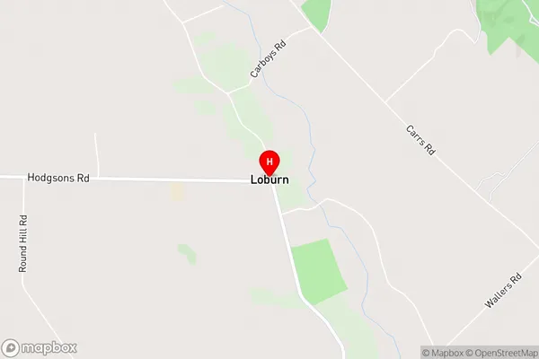
Local Authority
Waimakariri DistrictFull Address
Loburn, Waimakariri District, New ZealandAddress Type
Locality in Town LoburnLoburn Suburb Map (Satellite)
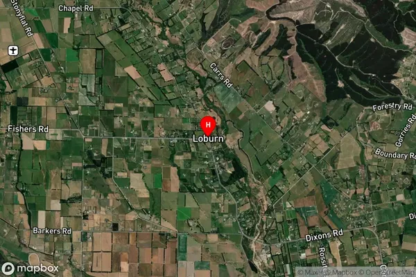
Country
Main Region in AU
CanterburyLoburn Region Map
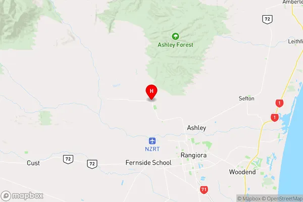
Coordinates
-43.2497723,172.538735 (latitude/longitude)Distances
The distance from Loburn, Loburn, Waimakariri District to NZ Top 10 Cities