Ashley Forest Area, Ashley Forest Postcode & Map in Ashley Forest
Ashley Forest Area, Ashley Forest Postcode & Map in Ashley Forest, Hurunui District, New Zealand
Ashley Forest, Hurunui District, New Zealand
Ashley Forest Area (estimated)
189.4 square kilometersAshley Forest Population (estimated)
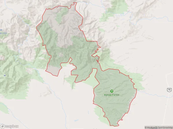
5 people live in Ashley Forest, Canterbury, NZAshley Forest Suburb Area Map (Polygon)
Ashley Forest Introduction
Ashley Forest is a residential area in Loburn, Canterbury, New Zealand. It is known for its peaceful environment, scenic views, and well-maintained homes. The area is popular with families and retirees and offers a variety of recreational facilities, including parks, walking trails, and a golf course.Region
Major City
Suburb Name
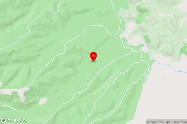
Ashley ForestAshley Forest Area Map (Street)
Local Authority
Hurunui DistrictFull Address
Ashley Forest, Hurunui District, New ZealandAddress Type
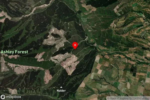
Locality in Town LoburnAshley Forest Suburb Map (Satellite)
Country
Main Region in AU
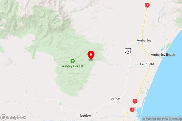
CanterburyAshley Forest Region Map
Coordinates
-43.1847241,172.613031676991 (latitude/longitude)Distances
The distance from Ashley Forest, Loburn, Hurunui District to NZ Top 10 Cities