Okuku Range Area, Okuku Range Postcode & Map in Okuku Range
Okuku Range Area, Okuku Range Postcode & Map in Okuku Range, Waimakariri District,
Okuku Range, Waimakariri District,
Okuku Range Area (estimated)
66.1 square kilometersOkuku Range Population (estimated)
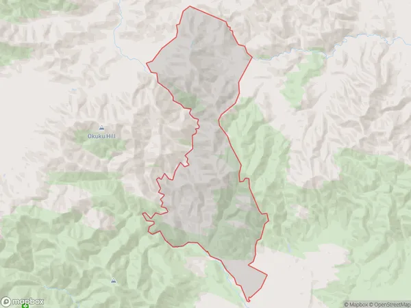
12 people live in Okuku Range, Rangiora, NZOkuku Range Suburb Area Map (Polygon)
Okuku Range Introduction
The Okuku Range is a mountain range located in the Canterbury region of New Zealand. It is known for its stunning landscapes, including rugged peaks, dense forests, and picturesque valleys. The range is a popular destination for outdoor enthusiasts, with numerous hiking trails, mountain biking routes, and camping sites. The area is also home to a variety of wildlife, including kea, tui, and mountain goats. The Okuku Range is a testament to the beauty and diversity of New Zealand's natural landscape.Region
Major City
Suburb Name
Okuku RangeOkuku Range Area Map (Street)
Local Authority
Waimakariri DistrictFull Address
Okuku Range, Waimakariri District,Address Type
Locality in Town LoburnOkuku Range Suburb Map (Satellite)
Country
Main Region in AU
CanterburyOkuku Range Region Map
Coordinates
0,0 (latitude/longitude)Distances
The distance from Okuku Range, Loburn, Waimakariri District to NZ Top 10 Cities