Woodstock Suburbs & Region, Woodstock Map & Postcodes in Woodstock, Tasman, Nelson & Bays
Woodstock Postcodes, Woodstock ZipCodes, Woodstock , Woodstock Tasman, Woodstock Suburbs, Woodstock Region, Woodstock Map, Woodstock Area
Woodstock Region
Woodstock Suburbs
Woodstock is a suburb place type in Tasman, Nelson & Bays, NZ. It contains 0 suburbs or localities.Woodstock district
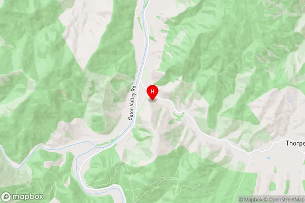
TasmanWoodstock Region Map
Woodstock Introduction
Woodstock is a small rural town in the Tasman District of New Zealand's South Island. It is located on the banks of the Opunake River, approximately 35 kilometers south of Nelson. The town was founded in the 1860s and is known for its historic buildings, including the Woodstock Hotel and the Old Church Hall. The surrounding area is popular for outdoor activities such as hiking, skiing, and fishing, and the town has a population of around 1,000 people.Woodstock Region
Woodstock City
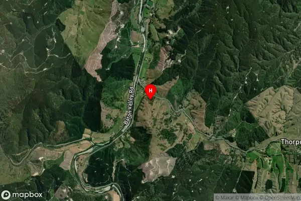
Woodstock Satellite Map
Full Address
Woodstock, Tasman, Nelson & BaysWoodstock Coordinates
-41.266024,172.826072 (Latitude / Longitude)Woodstock Map in NZ
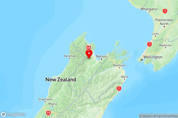
NZ Island
South IslandCountry
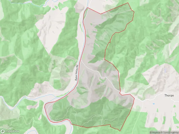
Woodstock Area Map (Polygon)
Name
WoodstockAdditional Name
Local Authority
Tasman District
Woodstock Suburbs (Sort by Population)
Woodstock suburb has around
16.7 square
kilometers.There are more than 71 people (estimated)
live in Woodstock, Wakefield, Tasman, New Zealand.