Woodstock Area, Woodstock Postcode & Map in Woodstock
Woodstock Area, Woodstock Postcode & Map in Woodstock, Tasman District, New Zealand
Woodstock, Tasman District, New Zealand
Woodstock Area (estimated)
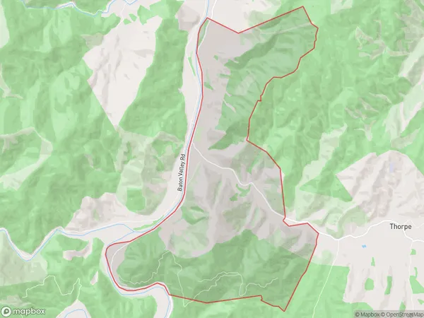
16.7 square kilometersWoodstock Population (estimated)
71 people live in Woodstock, Tasman, NZWoodstock Suburb Area Map (Polygon)
Woodstock Introduction
Woodstock is a small rural town located in the Tasman District of New Zealand's South Island. It is known for its scenic beauty, including the Woodstock Forest, and for its vibrant arts and culture community. The town has a population of around 1,000 people and is situated on the banks of the Motueka River.Region
Major City
Suburb Name
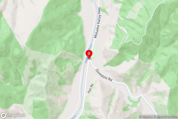
WoodstockWoodstock Area Map (Street)
Local Authority
Tasman DistrictFull Address
Woodstock, Tasman District, New ZealandAddress Type
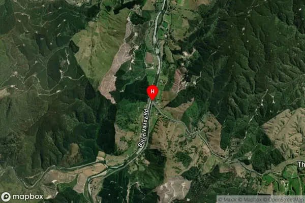
Locality in Town MotuekaWoodstock Suburb Map (Satellite)
Country
Main Region in AU
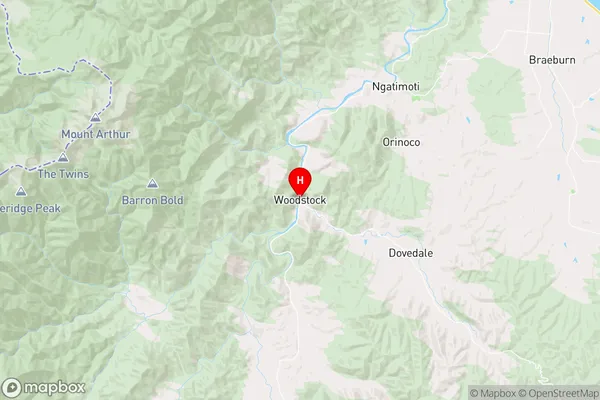
TasmanWoodstock Region Map
Coordinates
-41.2606015,172.8217531 (latitude/longitude)Distances
The distance from Woodstock, Motueka, Tasman District to NZ Top 10 Cities