Tapawera Suburbs & Region, Tapawera Map & Postcodes in Tapawera, Tasman, Nelson & Bays
Tapawera Postcodes, Tapawera ZipCodes, Tapawera , Tapawera Tasman, Tapawera Suburbs, Tapawera Region, Tapawera Map, Tapawera Area
Tapawera Region (Kaka, Mararewa, Matariki, Rakau, Tui Region)
Tapawera Suburbs
Tapawera is a suburb place type in Tasman, Nelson & Bays, NZ. It contains 0 suburbs or localities.Tapawera Postcodes
Tapawera district
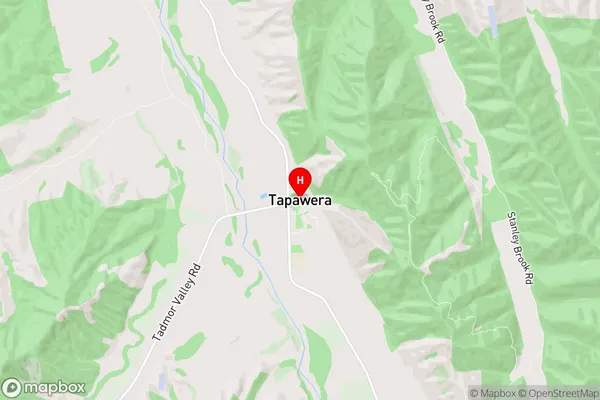
TasmanTapawera Region Map
Tapawera Introduction
Tapawera is a small township on the Tasman Peninsula in New Zealand's South Island. It is located on State Highway 6, approximately 12 kilometers south of Richmond and 50 kilometers north of Nelson. The area is known for its scenic beauty, including the Tapawera Volcanic Reserve, which features a lake, hot springs, and a range of hiking trails. The township has a population of around 100 people and is a popular destination for tourists seeking outdoor activities and natural attractions.Tapawera Region
Tapawera City
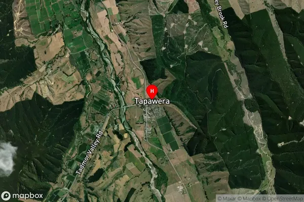
Tapawera Satellite Map
Full Address
Tapawera, Tasman, Nelson & BaysTapawera Coordinates
-41.385499,172.825225 (Latitude / Longitude)Tapawera Map in NZ
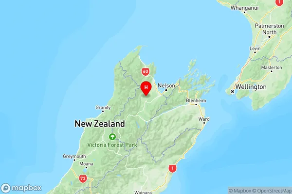
NZ Island
South IslandCountry
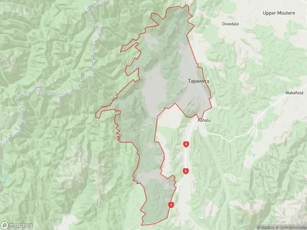
Tapawera Area Map (Polygon)
Name
TapaweraAdditional Name
Kaka, Mararewa, Matariki, Rakau, TuiLocal Authority
Tasman District
Tapawera Suburbs (Sort by Population)
Tapawera also known as Kaka, Mararewa, Matariki, Rakau, Tui. Tapawera suburb has around
437.9 square
kilometers.There are more than 867 people (estimated)
live in Tapawera, Wakefield, Tasman, New Zealand.