Mahana Suburbs & Region, Mahana Map & Postcodes in Mahana, Tasman, Nelson & Bays
Mahana Postcodes, Mahana ZipCodes, Mahana , Mahana Tasman, Mahana Suburbs, Mahana Region, Mahana Map, Mahana Area
Mahana Region
Mahana Suburbs
Mahana is a suburb place type in Tasman, Nelson & Bays, NZ. It contains 0 suburbs or localities.Mahana Postcodes
Mahana district
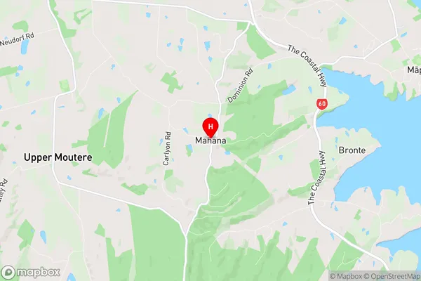
TasmanMahana Region Map
Mahana Introduction
Mahana is a small settlement on the Tasman Peninsula in New Zealand. It is located on the Mahana Beach, which is a popular spot for swimming, surfing, and fishing. The settlement has a general store, a post office, and a few houses. The surrounding area is known for its scenic beauty, including the Mahana Scenic Reserve and the Kahurangi National Park. Mahana is a popular destination for tourists and outdoor enthusiasts, and there are several accommodation options in the area, including camping grounds and holiday homes.Mahana Region
Mahana City
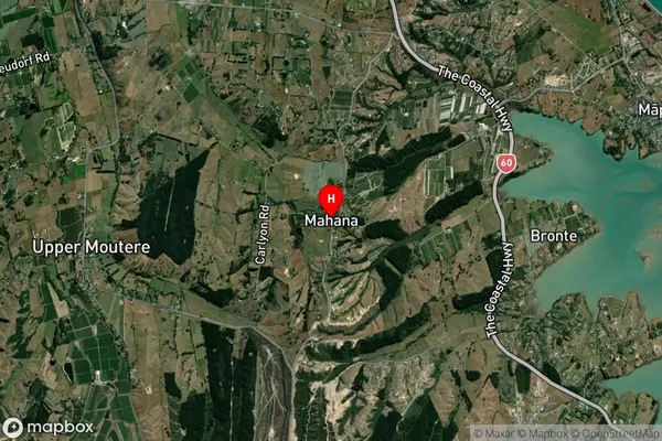
Mahana Satellite Map
Full Address
Mahana, Tasman, Nelson & BaysMahana Coordinates
-41.266186,173.044872 (Latitude / Longitude)Mahana Map in NZ
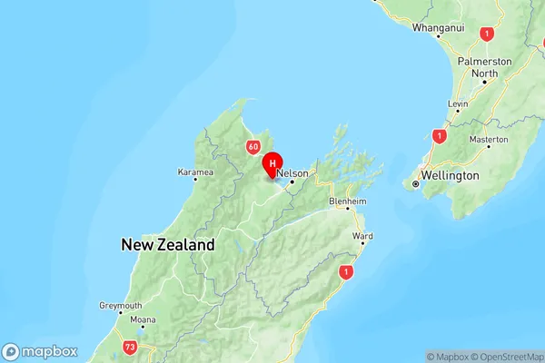
NZ Island
South IslandCountry
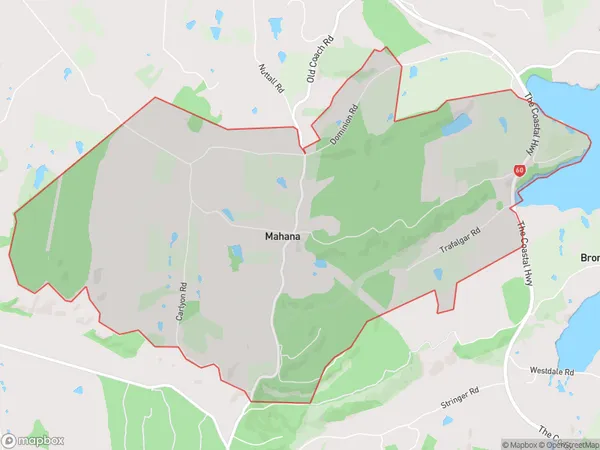
Mahana Area Map (Polygon)
Name
MahanaAdditional Name
Local Authority
Tasman District
Mahana Suburbs (Sort by Population)
Mahana suburb has around
11.3 square
kilometers.There are more than 298 people (estimated)
live in Mahana, Upper Moutere, Tasman, New Zealand.