Manawatu Suburbs & Region, Manawatu Map & Postcodes in Manawatu, Manawatu / Whanganui
Manawatu Postcodes, Manawatu ZipCodes, Manawatu , Manawatu Manawatu-Wanganui, Manawatu Suburbs, Manawatu Region, Manawatu Map, Manawatu Area
Manawatu Region
Manawatu Suburbs
Manawatu is a district place type in Manawatu / Whanganui, NZ. It contains 20 suburbs or localities.Manawatu district
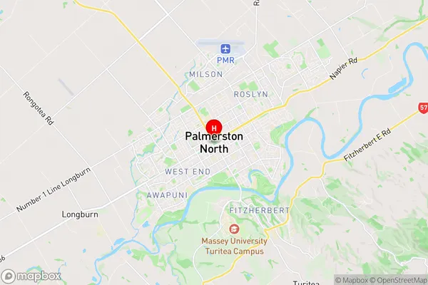
ManawatuManawatu Region Map
Manawatu Introduction
Manawatu is a city in the central North Island of New Zealand. It is located in the Manawatu-Wanganui region and is known for its rural landscapes, agricultural industries, and historic buildings. The city is home to a population of around 50,000 people and is surrounded by picturesque farmland and forests. It is also home to a number of important historical sites, including the Te Papa-National Museum of New Zealand and the Rangitikei River. Manawatu is a popular destination for outdoor activities such as hiking, cycling, and fishing, and is also home to a number of festivals and events throughout the year.Manawatu Region
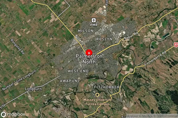
Manawatu Satellite Map
Full Address
Manawatu, Manawatu / WhanganuiManawatu Coordinates
-40.356317,175.6112388 (Latitude / Longitude)Manawatu Map in NZ
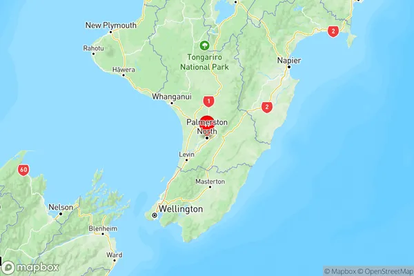
NZ Island
North IslandCountry
Manawatu Suburbs (Sort by Population)
Manawatu Suburbs (Sort in alphabetical)
Apiti
Bunnythorpe
Cheltenham
Feilding
Halcombe
Himatangi
Himatangi Beach
Kairanga
Kimbolton
Newbury
Ohakea
Ohingaiti
Opiki
Pohangina
Rangiwahia
Rongotea
Sanson
Tangimoana
Tiakitahuna
Waituna West