Pohangina Suburbs & Region, Pohangina Map & Postcodes in Pohangina, Manawatu, Manawatu / Whanganui
Pohangina Postcodes, Pohangina ZipCodes, Pohangina , Pohangina Manawatu-Wanganui, Pohangina Suburbs, Pohangina Region, Pohangina Map, Pohangina Area
Pohangina Region (Awahou North, Komako, Mount Richards, Mt Richards Region)
Pohangina Suburbs
Pohangina is a city place type in Manawatu, Manawatu / Whanganui, NZ. It contains 0 suburbs or localities.Pohangina Postcodes
Pohangina district
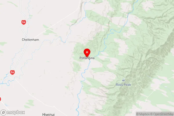
ManawatuPohangina Region Map

Pohangina Introduction
Pohangina is a small rural community located in the Manawatu-Wanganui region of New Zealand. It is situated on the banks of the Pohangina River, approximately 10 kilometers south of Palmerston North. The area is known for its scenic countryside, with rolling hills, lush green fields, and picturesque waterways. Pohangina has a population of around 100 people and is home to a variety of businesses, including a farm, a convenience store, and a post office. The community is well-connected to other parts of the region, with easy access to the State Highway 3 and the Palmerston North Airport. Pohangina is a peaceful and welcoming community that offers a quiet and relaxed lifestyle away from the hustle and bustle of city life.Pohangina Region
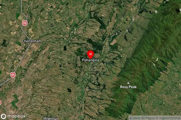
Pohangina Satellite Map

Full Address
Pohangina, Manawatu, Manawatu / WhanganuiPohangina Coordinates
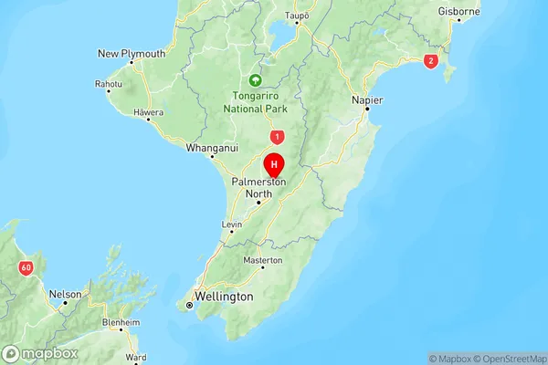
-40.170774,175.794747 (Latitude / Longitude)Pohangina Map in NZ

NZ Island
North IslandCountry
Pohangina Area Map (Polygon)
Not available for nowName
PohanginaAdditional Name
Awahou North, Komako, Mount Richards, Mt RichardsLocal Authority
Manawatu District
Pohangina Suburbs (Sort by Population)
Pohangina also known as Awahou North, Komako, Mount Richards, Mt Richards. Pohangina suburb has around
-1.2 square
kilometers.There are more than 833 people (estimated)
live in Pohangina, Pohangina, Manawatu-Wanganui, New Zealand.