Rongotea Suburbs & Region, Rongotea Map & Postcodes in Rongotea, Manawatu, Manawatu / Whanganui
Rongotea Postcodes, Rongotea ZipCodes, Rongotea , Rongotea Manawatu-Wanganui, Rongotea Suburbs, Rongotea Region, Rongotea Map, Rongotea Area
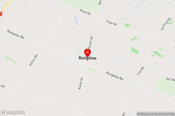
Rongotea Region (Carnarvon, Kopane, Waitohi Region)
Rongotea Suburbs
Rongotea is a suburb place type in Manawatu, Manawatu / Whanganui, NZ. It contains 1 suburbs or localities.Rongotea district
ManawatuRongotea Region Map
Rongotea Introduction
Rongotea is a small town in the Manawatu-Wanganui region of New Zealand. It is located on the banks of the Rongotea River, approximately 100 kilometers north of Palmerston North. The town has a population of around 1,000 people and is known for its scenic surroundings, including the Rongotea Forest Park and the Rongotea Scenic Reserve. Rongotea is also home to a number of historic buildings, including the Rongotea Church and the Rongotea Hotel. The town is a popular destination for outdoor activities such as hiking, cycling, and fishing, and is also close to a number of wineries and other attractions in the region.Rongotea Region
Rongotea City
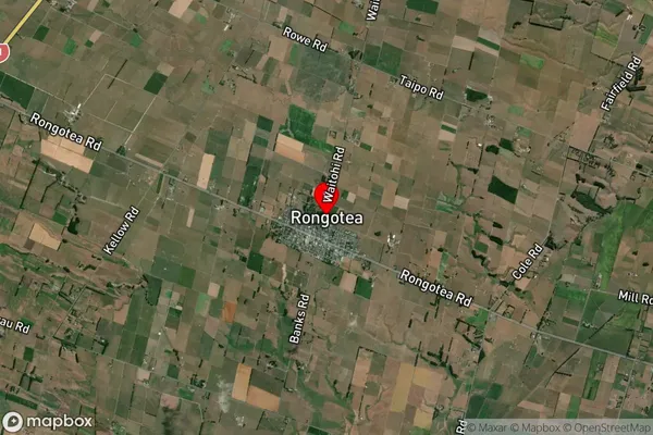
Rongotea Satellite Map
Full Address
Rongotea, Manawatu, Manawatu / WhanganuiRongotea Coordinates
-40.290033,175.426631 (Latitude / Longitude)Rongotea Map in NZ
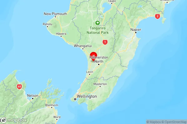
NZ Island
North IslandCountry
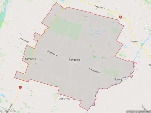
Rongotea Area Map (Polygon)
Name
RongoteaAdditional Name
Carnarvon, Kopane, WaitohiLocal Authority
Manawatu District
Rongotea Suburbs (Sort by Population)
Rongotea
Rongotea - 1661