Rongotea Area, Rongotea Postcode(4476) & Map in Rongotea
Rongotea Area, Rongotea Postcode(4476) & Map in Rongotea, Manawatu District, New Zealand
Rongotea, Manawatu District, New Zealand
Rongotea Area (estimated)
124.4 square kilometersRongotea Population (estimated)
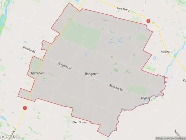
1661 people live in Rongotea, Manawatu-Wanganui, NZRongotea Suburb Area Map (Polygon)
Rongotea Introduction
Rongotea is a small rural town located in the Manawatu-Wanganui region of New Zealand. It is known for its beautiful beaches, lush green forests, and historic buildings. The town has a population of around 1,000 people and is situated on the banks of the Rongotea River. Rongotea is a popular destination for tourists and locals alike, with many activities to enjoy such as fishing, hiking, cycling, and kayaking. The town also has a community hall, a library, and a golf course.Region
Major City
Suburb Name
RongoteaOther Name(s)
Carnarvon, Kopane, WaitohiRongotea Area Map (Street)
Local Authority
Manawatu DistrictFull Address
Rongotea, Manawatu District, New ZealandAddress Type
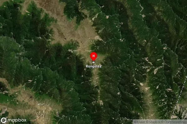
Locality in Town RongoteaRongotea Suburb Map (Satellite)
Country
Main Region in AU
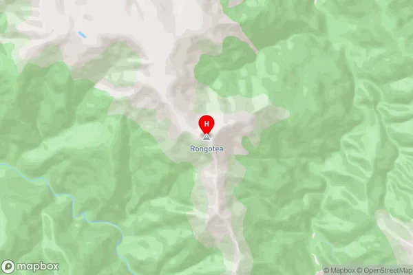
Manawatu-WanganuiRongotea Region Map
Coordinates
-39.7638068,176.1127873 (latitude/longitude)Distances
The distance from Rongotea, Rongotea, Manawatu District to NZ Top 10 Cities