Ohakea Suburbs & Region, Ohakea Map & Postcodes in Ohakea, Manawatu, Manawatu / Whanganui
Ohakea Postcodes, Ohakea ZipCodes, Ohakea , Ohakea Manawatu-Wanganui, Ohakea Suburbs, Ohakea Region, Ohakea Map, Ohakea Area
Ohakea Region
Ohakea Suburbs
Ohakea is a suburb place type in Manawatu, Manawatu / Whanganui, NZ. It contains 0 suburbs or localities.Ohakea Postcodes
Ohakea district
ManawatuOhakea Region Map

Ohakea Introduction
Ohakea is a small rural community located in the Manawatu-Wanganui region of New Zealand. It is situated on the banks of the Ohakea River, approximately 10 kilometers north of Palmerston North. The community has a population of around 1,000 people and is known for its scenic surroundings, including the Ohakea Forest Park and the Ohakea Airbase. The area has a rich history, with evidence of early Māori settlement dating back to the 13th century. The village was established in the 19th century as a farming community and has since evolved into a hub for agricultural research and technology. Ohakea is also home to a number of historic buildings, including the Ohakea War Memorial and the Ohakea Railway Station. The community is surrounded by beautiful countryside and is popular with outdoor enthusiasts, with many walking and cycling trails nearby.Ohakea Region
Ohakea City
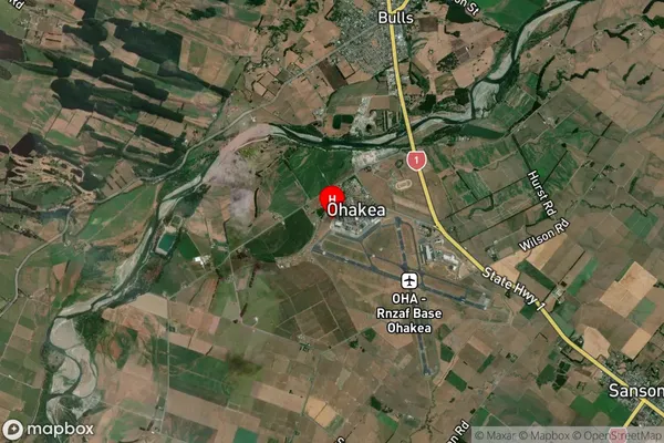
Ohakea Satellite Map

Full Address
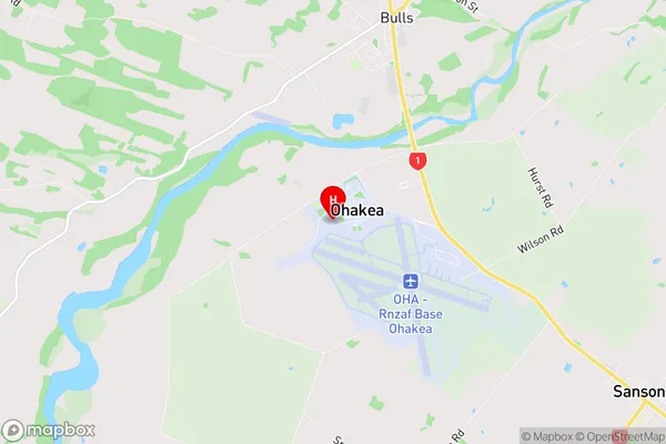
Ohakea, Manawatu, Manawatu / WhanganuiOhakea Coordinates
-40.199,175.375831 (Latitude / Longitude)Ohakea Map in NZ

NZ Island
North IslandCountry
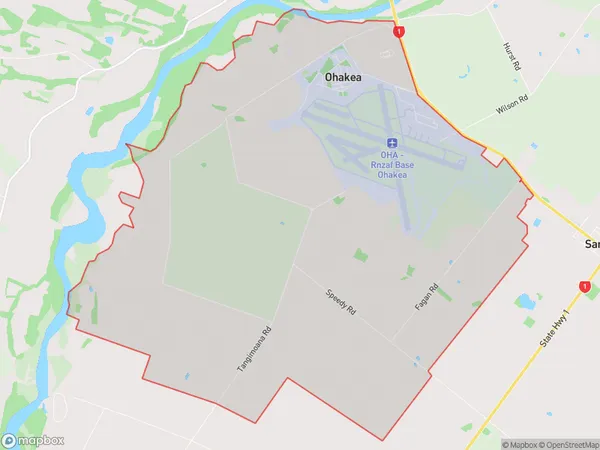
Ohakea Area Map (Polygon)

Name
OhakeaAdditional Name
Local Authority
Manawatu District
Ohakea Suburbs (Sort by Population)
Ohakea suburb has around
30.3 square
kilometers.There are more than 545 people (estimated)
live in Ohakea, Bulls, Manawatu-Wanganui, New Zealand.