Ohakea Area, Ohakea Postcode(4816) & Map in Ohakea
Ohakea Area, Ohakea Postcode(4816) & Map in Ohakea, Manawatu District, New Zealand
Ohakea, Manawatu District, New Zealand
Ohakea Postcodes
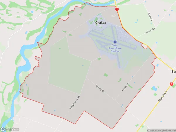
Ohakea Area (estimated)
30.3 square kilometersOhakea Population (estimated)
545 people live in Ohakea, Manawatu-Wanganui, NZOhakea Suburb Area Map (Polygon)

Ohakea Introduction
Ohakea is a wind farm located in the Manawatu-Wanganui region of New Zealand. It consists of 104 wind turbines, with a total capacity of 42 MW. The wind farm is owned and operated by Contact Energy, and it provides electricity to the local grid. Ohakea is notable for its innovative design, which includes a series of underground cables that connect the wind turbines to a substation located onshore.Region
Major City
Suburb Name
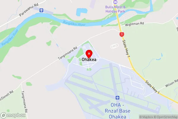
OhakeaOhakea Area Map (Street)

Local Authority
Manawatu DistrictFull Address
Ohakea, Manawatu District, New ZealandAddress Type
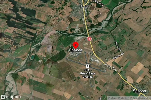
Suburb in Town BullsOhakea Suburb Map (Satellite)

Country
Main Region in AU
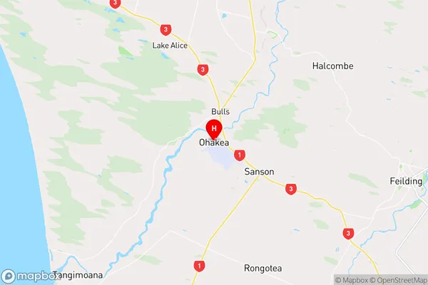
Manawatu-WanganuiOhakea Region Map

Coordinates
-40.1975853,175.3795551 (latitude/longitude)Distances
The distance from Ohakea, Bulls, Manawatu District to NZ Top 10 Cities