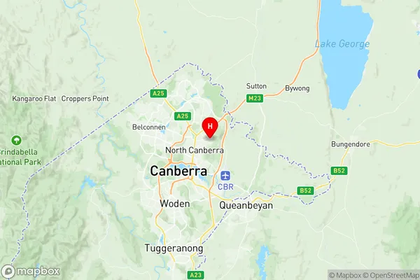
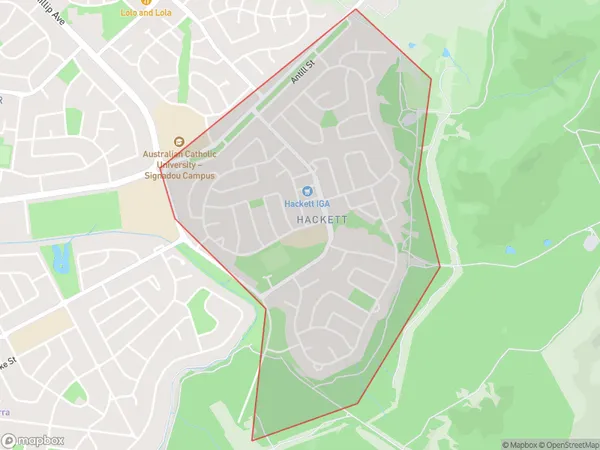
Hackett Suburbs & Region, Hackett Map & Postcodes
Hackett Suburbs & Region, Hackett Map & Postcodes in Hackett, North Canberra, Australian Capital Territory, ACT, AU
Hackett Region
Region Name
Hackett (ACT, AU)Hackett Area
1.95 square kilometers (1.95 ㎢)Postal Codes
2602 (In total, there are 1 postcodes in Hackett.)Hackett Introduction
Hackett is a suburb in the Australian Capital Territory (ACT) located in the northern section of Canberra. It is named after Sir John Hackett, a former Governor-General of Australia. Hackett is located approximately 10 kilometers north of the Canberra city center and is part of the City of Canberra. The suburb is characterized by a mix of residential and commercial properties. It has a large population of families and young professionals and is known for its well-maintained parks and recreational facilities. Hackett also has a number of shopping centers, including the Hackett Shopping Centre and the Westfield Woden. The suburb is well-connected to the rest of Canberra via public transportation, with several bus routes and the Canberra Metro serving the area. It is also close to several major arterial roads, including the Monaro Highway and the Barton Highway. Hackett is a popular suburb for those who enjoy an active lifestyle, with several walking and cycling trails nearby. It is also home to a number of sporting clubs, including the Hackett Football Club and the Hackett Basketball Club. In conclusion, Hackett is a vibrant and well-established suburb in the Australian Capital Territory with a rich history and a strong sense of community. It is a popular destination for families and young professionals looking for a comfortable and convenient lifestyle in a beautiful natural setting.Australia State
City or Big Region
Greater Capital City
Australian Capital Territory (8ACTE)District or Regional Area
Suburb Name
Hackett Region Map

Hackett Postcodes / Zip Codes
Hackett Suburbs
Hackett full address
Hackett, North Canberra, Australian Capital Territory, ACT, Australia, SaCode: 801051056Country
Hackett, North Canberra, Australian Capital Territory, ACT, Australia, SaCode: 801051056
Hackett Suburbs & Region, Hackett Map & Postcodes has 0 areas or regions above, and there are 1 Hackett suburbs below. The sa2code for the Hackett region is 801051056. Its latitude and longitude coordinates are -35.2481,149.163. Hackett area belongs to Australia's greater capital city Australian Capital Territory.
Hackett Suburbs & Localities
1. Hackett
