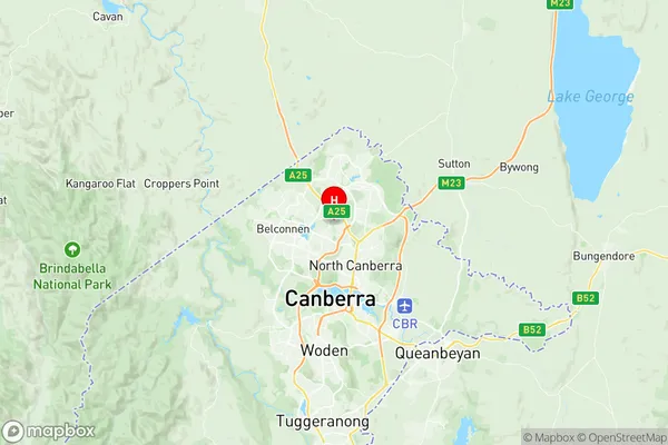
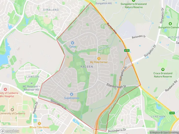
Kaleen Suburbs & Region, Kaleen Map & Postcodes
Kaleen Suburbs & Region, Kaleen Map & Postcodes in Kaleen, North Canberra, Australian Capital Territory, ACT, AU
Kaleen Region
Region Name
Kaleen (ACT, AU)Kaleen Area
6.03 square kilometers (6.03 ㎢)Postal Codes
2617 (In total, there are 1 postcodes in Kaleen.)Kaleen Introduction
Kaleen is a suburb in the Australian Capital Territory (ACT) in Australia. It is located in the northern part of the territory and is part of the Gungahlin Region. The suburb is named after the Kaleen Creek, which flows through it. Kaleen is a popular suburb with a mix of residential and commercial properties. It is home to a number of government institutions, including the Australian Parliament House and the Australian Institute of Sport. The suburb also has a number of parks and recreational facilities, including the Kaleen Community Centre and the Kaleen Golf Course. The population of Kaleen is approximately 6,000 people. The suburb has a diverse population, with a mix of different ethnic backgrounds and cultures. The median age of the suburb is 37 years, and the majority of residents are employed in professional or managerial occupations. Kaleen is well-connected to the rest of the Canberra region, with easy access to the city centre and other major suburbs. The suburb is served by a number of bus routes and has a rail station on the Canberra line. In conclusion, Kaleen is a vibrant and diverse suburb in the Australian Capital Territory with a rich history and a strong sense of community. It is a popular place to live and work, with a range of recreational facilities and easy access to the city centre.Australia State
City or Big Region
Greater Capital City
Australian Capital Territory (8ACTE)District or Regional Area
Suburb Name
Kaleen Region Map

Kaleen Postcodes / Zip Codes
Kaleen Suburbs
Kaleen full address
Kaleen, North Canberra, Australian Capital Territory, ACT, Australia, SaCode: 801011016Country
Kaleen, North Canberra, Australian Capital Territory, ACT, Australia, SaCode: 801011016
Kaleen Suburbs & Region, Kaleen Map & Postcodes has 0 areas or regions above, and there are 1 Kaleen suburbs below. The sa2code for the Kaleen region is 801011016. Its latitude and longitude coordinates are -35.221,149.106. Kaleen area belongs to Australia's greater capital city Australian Capital Territory.
Kaleen Suburbs & Localities
1. Kaleen
