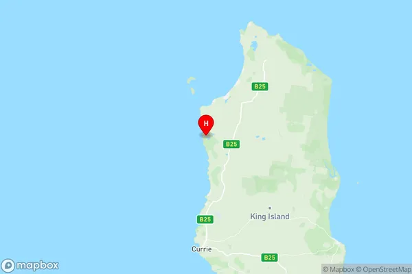
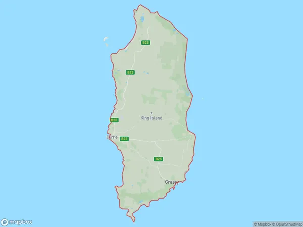
King Island Suburbs & Region, King Island Map & Postcodes
King Island Suburbs & Region, King Island Map & Postcodes in King Island, West Coast, West and North West, TAS, AU
King Island Region
Region Name
King Island (TAS, AU)King Island Area
1096 square kilometers (1,096 ㎢)Postal Codes
7256 (In total, there are 1 postcodes in King Island.)King Island Introduction
King Island is a large island located off the west coast of Tasmania, Australia. It is known for its beautiful beaches, rugged mountains, and diverse wildlife. The island has a population of around 4,500 people and is home to a variety of species, including the King Island brown snake, Tasmanian devil, and platypus. The island is also a popular destination for tourists, with many activities to enjoy, including hiking, fishing, and wildlife watching.Australia State
City or Big Region
Greater Capital City
Rest of Tas. (6RTAS)District or Regional Area
Suburb Name
King Island Region Map

King Island Postcodes / Zip Codes
King Island Suburbs
King Island full address
King Island, West Coast, West and North West, Tasmania, TAS, Australia, SaCode: 604031093Country
King Island, West Coast, West and North West, Tasmania, TAS, Australia, SaCode: 604031093
King Island Suburbs & Region, King Island Map & Postcodes has 0 areas or regions above, and there are 16 King Island suburbs below. The sa2code for the King Island region is 604031093. Its latitude and longitude coordinates are -39.7588,143.858. King Island area belongs to Australia's greater capital city Rest of Tas..
King Island Suburbs & Localities
1. Wickham
2. Currie
3. Surprise Bay
4. Bungaree
5. Egg Lagoon
6. Loorana
7. Nugara
8. Pearshape
9. Pegarah
10. Reekara
11. Sea Elephant
12. Yambacoona
13. Yarra Creek
14. Grassy
15. Lymwood
16. Naracoopa
