Quoiba Spreyton Suburbs & Region, Quoiba Spreyton Map & Postcodes
Quoiba Spreyton Suburbs & Region, Quoiba Spreyton Map & Postcodes in Quoiba Spreyton, Devonport, West and North West, TAS, AU
Quoiba Spreyton Region
Region Name
Quoiba Spreyton (TAS, AU)Quoiba Spreyton Area
28.59 square kilometers (28.59 ㎢)Quoiba Spreyton Introduction
Quoiba Spreyton is a locality in the West and North West regions of Tasmania, Australia. It is located in the local government area of the West Coast Council. The town is situated on the Quoiba River, approximately 12 km south of the town of Queenstown. The area was first settled in the 1820s by Europeans, and the town was established in the 1880s. Quoiba Spreyton is a popular tourist destination, with many visitors coming to enjoy the scenic surroundings and the many outdoor activities available, such as fishing, hiking, and camping. The town has a post office, a general store, a hotel, and a caravan park. The Quoiba Dam is located nearby, providing water for irrigation and hydroelectric power.Australia State
City or Big Region
Greater Capital City
Rest of Tas. (6RTAS)District or Regional Area
Suburb Name
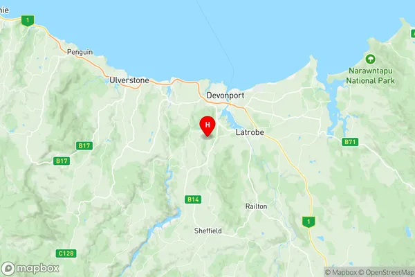
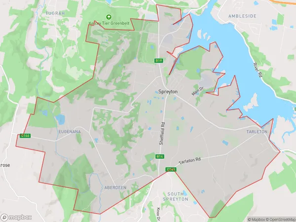
Quoiba Spreyton Region Map

Quoiba Spreyton Suburbs
Quoiba Spreyton full address
Quoiba Spreyton, Devonport, West and North West, Tasmania, TAS, Australia, SaCode: 604021090Country
Quoiba Spreyton, Devonport, West and North West, Tasmania, TAS, Australia, SaCode: 604021090
Quoiba Spreyton Suburbs & Region, Quoiba Spreyton Map & Postcodes has 0 areas or regions above, and there are 0 Quoiba Spreyton suburbs below. The sa2code for the Quoiba Spreyton region is 604021090. Its latitude and longitude coordinates are -41.2443,146.326. Quoiba Spreyton area belongs to Australia's greater capital city Rest of Tas..
